Summerland 2/18/15
Summerland is an extremely popular hike in Mt. Rainier National Park during....the summer. It offers spectacular views and is under 10 miles for the roundtrip. Winter is a whole different animal; usually. The Pacific Northwest is "enjoying" very mild weather and low snow accumulations. I wanted to see firshand what was up so a trip to Summerland was in order. However, access is limited as HW 410 is closed from the Crystal Mountain turnoff, meaning that access to this area of the park is usually limited to snomobiles or people on snowshoes or skins willing to trek 9 miles into the park just to access the trailhead. For me it was a matter of mounting my mountain bike and enjoying snow free roads until less than half a mile from the trailhead. The following shots are frame grabs from video I took a week earlier when I checked out the road with my buddy.
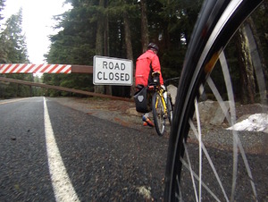 HW 410 gate closure
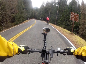 junction for White River park entrance
 overflow on road
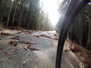
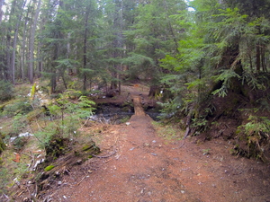
 ditritis before the gateWhen I hit the trail I knew that the lower portion was mostly snow free but really didn't know what to expect as I ascended. What my feet found were isolated patches of snow all the way to the bridge crossing of Fryingpan Creek at 5000 feet and then continuous snow from that point. There were faint tracks, probably made by a couple of skiers from the prior weekend, and I followed these until I disagreed with their route, ascending a steep gully. I descended and explored until I found a suitable crossing of a feeder creek and from that point it was fairly straightforward and easy travel up the valley. The actual trail to Summerland ascends via switchbacks but when snow is present it is much easier to simply go up the valley and curve left to Summerland. The snow conditions couldn't have been better, with just enough grip and give to walk upward. In fact, the snow was so amenable to boot work that I was able to run my route in reverse on the way back. I trudged upward in an arc to about 6000 feet where it was easy to cross a gulley and then made a descending beeline for the Summerland shelter. Although snow covered the entire area, the depth is rather low, with no tree wells to speak of in Summerland. What with the warm temperatures and sunlit day, this hike reminded me of a late June or early July trip. I basked in the sun for a leisurely lunch and trotted back to the trailhead, all the while marveling that it was mid February and I was dressed in but a base layer and a wind shirt. With the favorable conditions the speed of the hike was also summerlike: I started the bike at 8 AM, hit the trail at 9:30, had lunch from noon to 12:30 and was back at the trailhead by 2 PM. After another snack break and with only a few hundred feet of climbing on the bike out of the park to the junction with HW 410, the downhill romp to my vehicle had me done at 3 PM. This was a 28 mile trip (18 biking) with 3800 feet of elevation gain. The fact that this was doable on February 18th is what makes it remarkable. Now, we need some snow!
 Summerland trail shot above 3000'
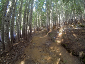 Summerland trail shot above 4000'
 looking back on ascending prints
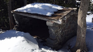 Summerland shelter
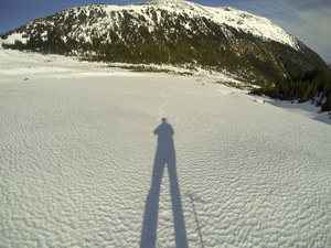
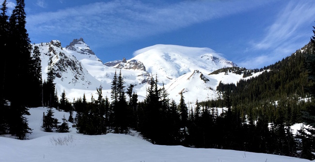 Mt. Rainier from the valley