
MRNP: TumTum Peak (4678')
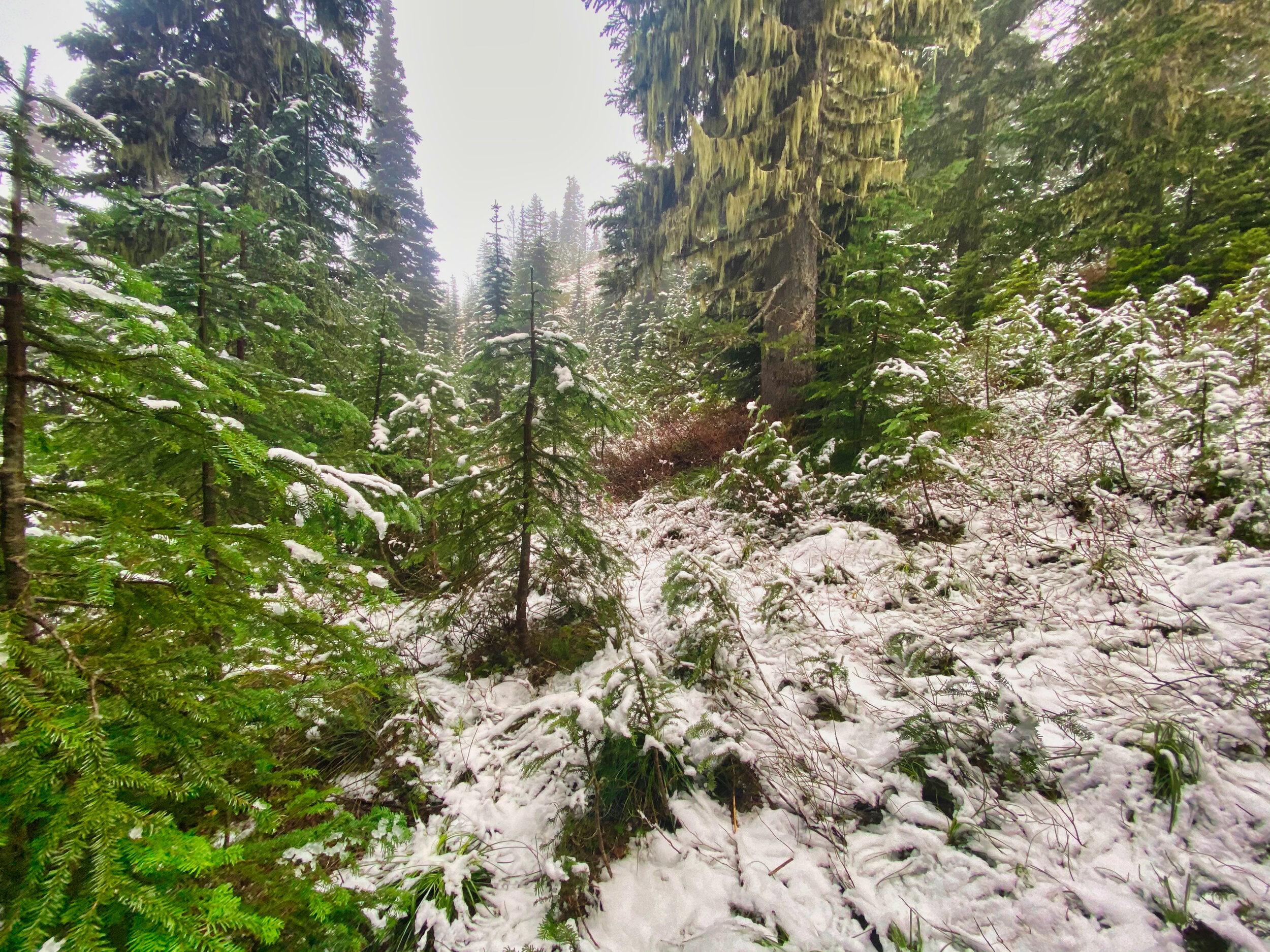
On another foray into the park this late November I had it in mind to hit 3 peaks: TumTum (4678’), Ararat (6010’) and Mt. Wow (6040’) over the course of two days. The weather forecast drove my schedule; I would hit TumTum in the morning of the first day (rain and mist) because of its limited views, then proceed on the same Kautz Creek trail towards Indian Henry’s Hunting Ground to hopefully enjoy clearing skies from the summit of Ararat, offering big late afternoon views of the mountain with visions of alpenglow dancing in my head. I set off in the early morning, eventually donning my rain gear (including pants) as the brush was wet and there was a steady drizzle. When I left the trail there was little evidence of prior travel so I was basically on my own; I don’t think TumTum is often visited. The forest sections weren’t particularly hard but had the usual obstacles to surmount. I found that skirting rocky outcroppings on the left looked the best way, and once I attained a saddle to the west of the peak it was easy going to the forested summit. I decided to return the way I had come as descending the east ridge was an unknown. As I regained the Kautz Creek trail there was a moment of sunshine filtering through the trees so it looked like my plan was coming together….off to Ararat!
Drizzly conditions above 4700’ on the trail approaching Mt. Ararat (6010’)

Majestic giants on the Kautz Creek trail
Unfortunately that brief splash of sunshine was also the last of it, and as I climbed above 4700’ on trail I encountered more drizzle and wet, gloppy snow. I continued with hope and optimism to 5100’ on trail, nearing the point where I would break off for the Ararat summit. My plans were dashed as I looked up to a totally obscured Ararat and continuing drizzle; Ararat is best served by the afternoon view of the mountain, so I decided to save it for another day. This time of year the forest starts getting dark at 4 PM. My plans have been to be back on established trail by 3 as I don’t mind hiking in the dark but I don’t want to be route finding off trail. I regained my vehicle by 5 in complete darkness and made plans for dinner and truck camping. Tomorrow’s forecast was for sunny skies and I had the much more difficult scramble of Mt. Wow (6040’) on the agenda. Today’s Stats: 14.5 miles/5000’ elev
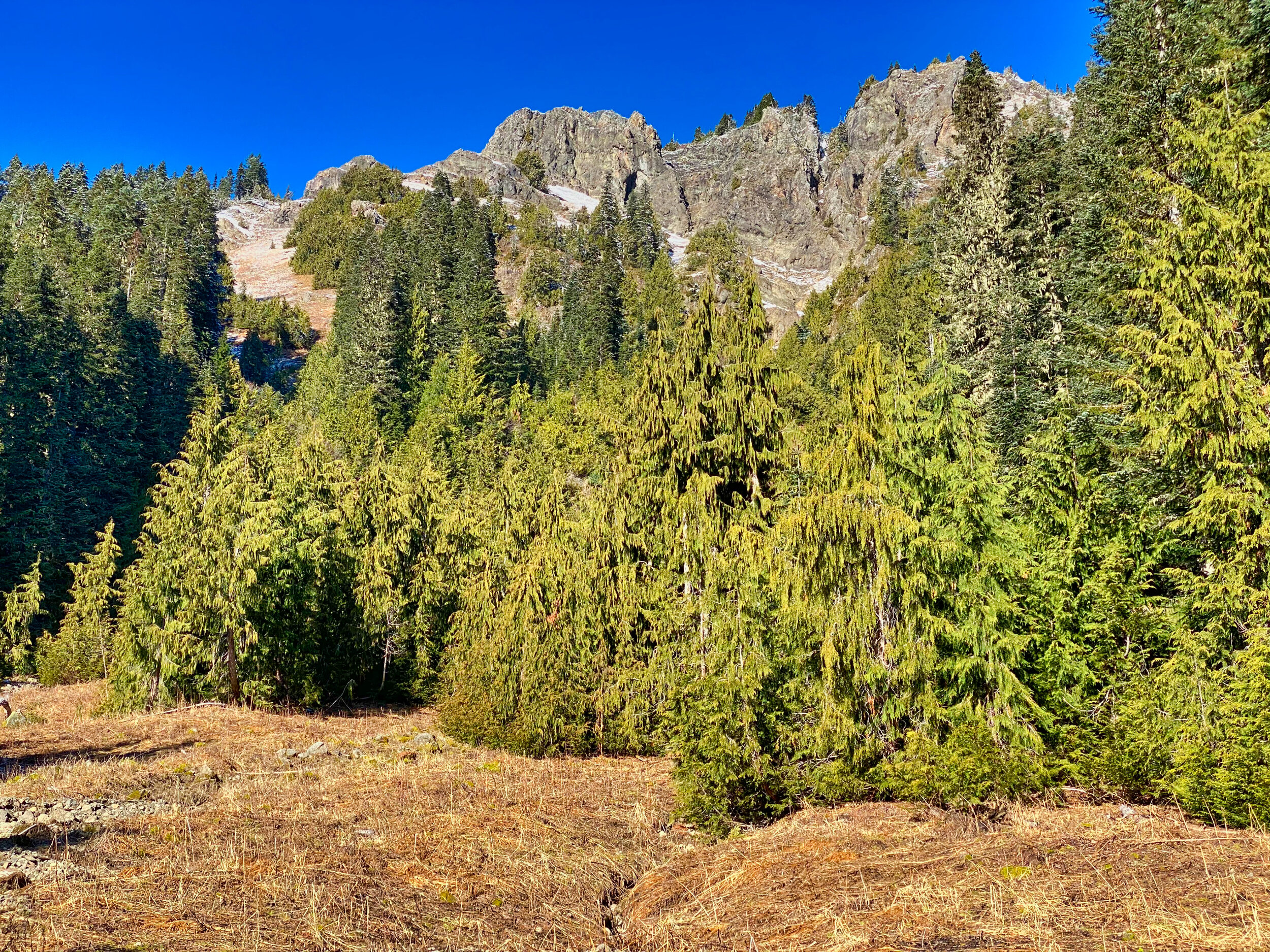
Mt. Wow (6040’) from 5100’
WOW FAILURE The West Side road was gated on November 4th from its entrance, so I came equipped with my mountain bike to do the easy 1.85 mile ride up the road to the climbers trail that leads to Lake Allen above and the slopes of Mt. Wow. This is a quad busting steep climb, taking me from 2500’ to above Lake Allen at 4700’. The description of this scramble is “difficult” with route finding problems, and I must say I encountered such. There just didn’t seem to be an easy way to attain the upper slopes leading to the saddle between Mt. Wow and Point 5614. I’ll synopsize; between verglas on rock, cliff bands, snow covered steep grassy slopes and thick foliage, I made it to an elevation of 5500’ with the saddle in sight along with Mt. Wow, just 500’ above me….and decided to turn around. My decision was based on estimated time to climb to the saddle and scramble the ridge to Wow and back, the uncertainty of attaining the lower slopes (I had lost my Whippet during one intense battle with slide alder on one such slope, not going back that way!), negotiating the slippery sun softened snow over steep grassy slopes I was currently on (without my Whippet) and reestablishing myself on the climbers trail before darkness fell. As it turns out, my descent route was the “appropriate” way up and down….not easy, as I found myself looking down on a 60 degree gully at one point, slightly off the proper track. If only the days were longer, I could have enjoyed the in your face clear views of Rainier, glimpses of which I caught on the ascent over my right shoulder. The guide I use to reference these peaks has general descriptions and may be slightly understated….perhaps more from my geriatric viewpoint, but this one is definitely a “hard scramble with route finding difficulties” for sure. Hopefully next time, bolstered by my newfound familiarity with the route, I will meet with success. Just an example of exercising judgement based on conditions and circumstances. I was back at my vehicle by 3 PM but the steep descent through the forest to regain my bike on the West Side road was already getting darkish at 2 PM. No second thoughts on this one. Cheers! (Stats: 10.3 miles/4500’ elev)

The sun at 2 PM on November 20th; descending from Lake Allen

The wonders of November hiking

The summit of TumTum Peak (4678’), Mt. Rainier National Park