35 Years: Introduction

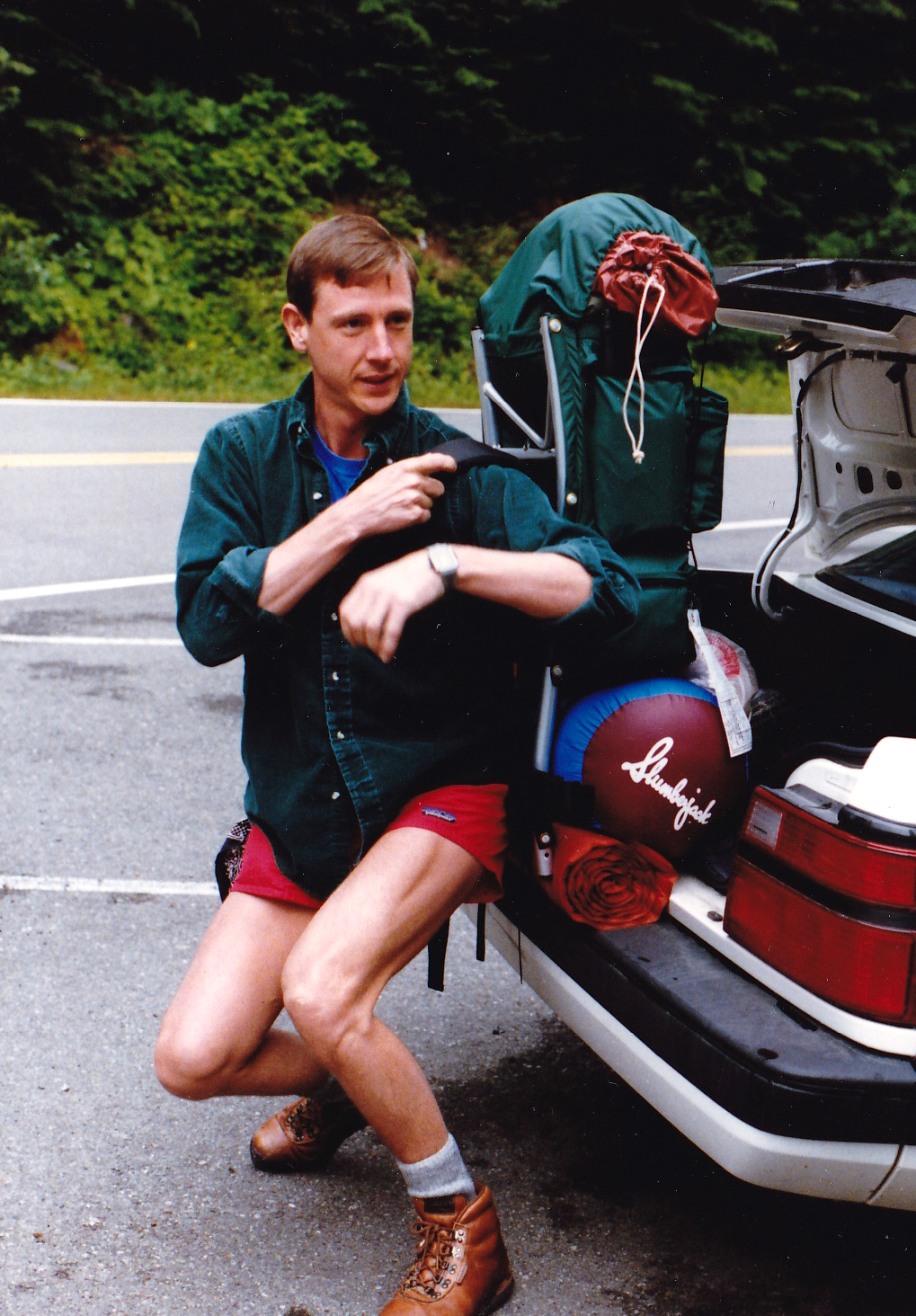
Stylin' on the Wonderland, 1987
I MOVED TO THE PACIFIC NORTHWEST and started hiking in Mt. Rainier National Park in 1983, so 2018 marks 35 years for exploring this gem. In celebration, I am looking forward to places I haven't been, and looking back at experiences and observations over the decades. These posts will include videos, posts, photos and general reminiscing of my time spent on Rainier's flanks and higher.

McMurdo Station, Antarctica (USAF, 2000)
TO BEGIN, a little background about williswall that should shed light on how and perhaps why I have spent so much time here. When I moved to the greater Seattle area in 1983 it was because of an assignment in the Air Force, flying C-141s. As I drove into the state I thought it would be a shortcut to go through the park, in that age of no GPS or internet with just paper maps in hand. I wasn't even sure where McChord AFB was so headed for "Military Road." As I drove over Cayuse Pass I realized, even then, that Washington State was where I wanted to be. Light faded and my trip through the park in the dark had me stopping for deer and realizing that the twisting roads probably didn't save me any time (I went down SR 123 and entered via Stevens Canyon, exiting the Nisqually entrance). However, even in darkness I connected with this place.
Despite growing up in Maine, I only started day hiking when I was 28 years old, discovering later in life a passion for the outdoors. One day I was hiking from Ipsut Creek and ran into my boss on the trail. He introduced me to some off trail hiking with a jaunt to Curtis Ridge, basking in the sun overlooking the Carbon Glacier and Willis Wall, then hitting Mineral Mountain on our way back. From that point on I would venture into the park, driving the West Side Road and doing day hikes to all areas of that quadrant. In 1987 I decided to hike the Wonderland Trail (93 miles) and collected all manner of gear with no thought towards weight, ending up hiking the trail with probably a 50 pound pack. During those 7 days of suffering the uphills I gained quite an appreciation for weight, but persevered and was met by my wife and a buddy at Granite Creek camp with a nice meal and a bottle of wine to accompany me on my last few miles to Sunrise.
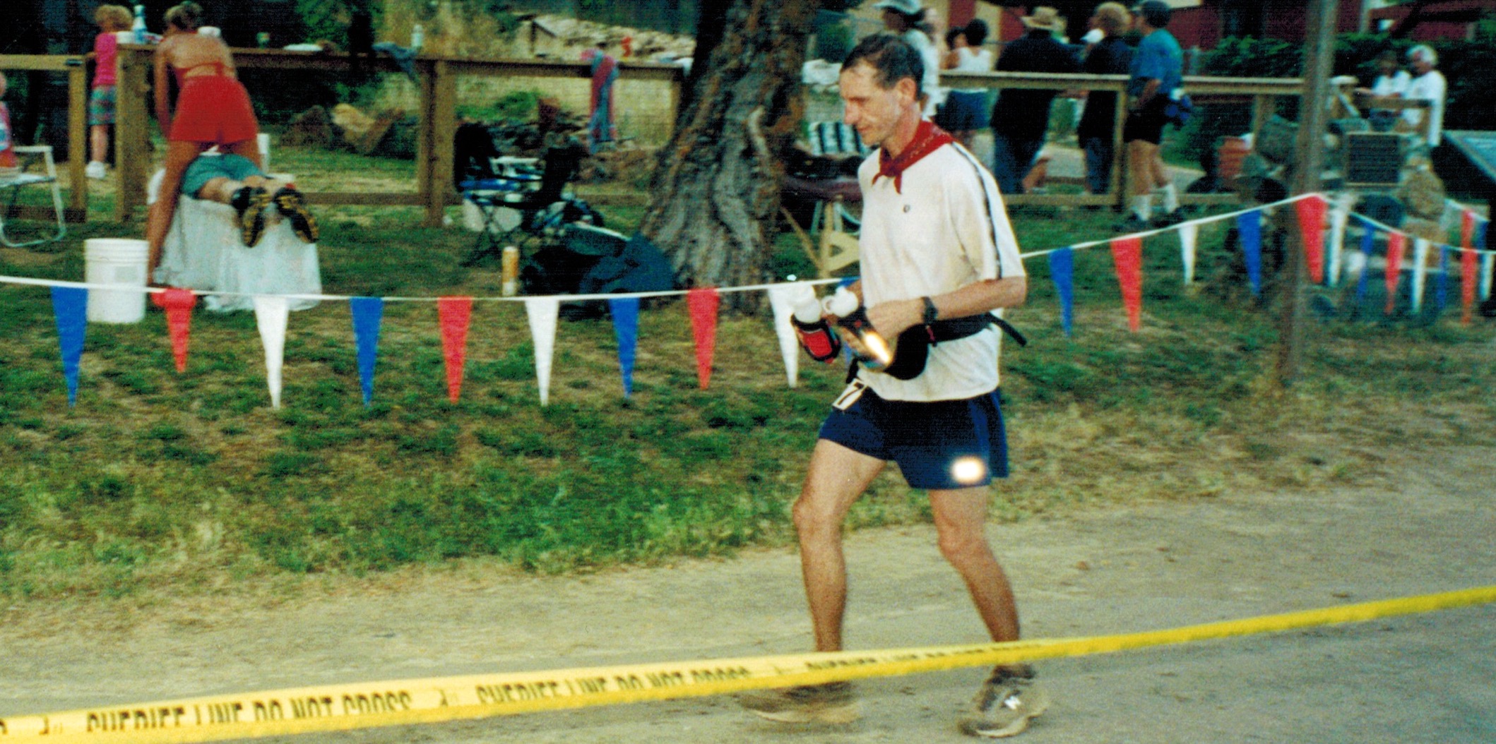
Western States 100 (2001)
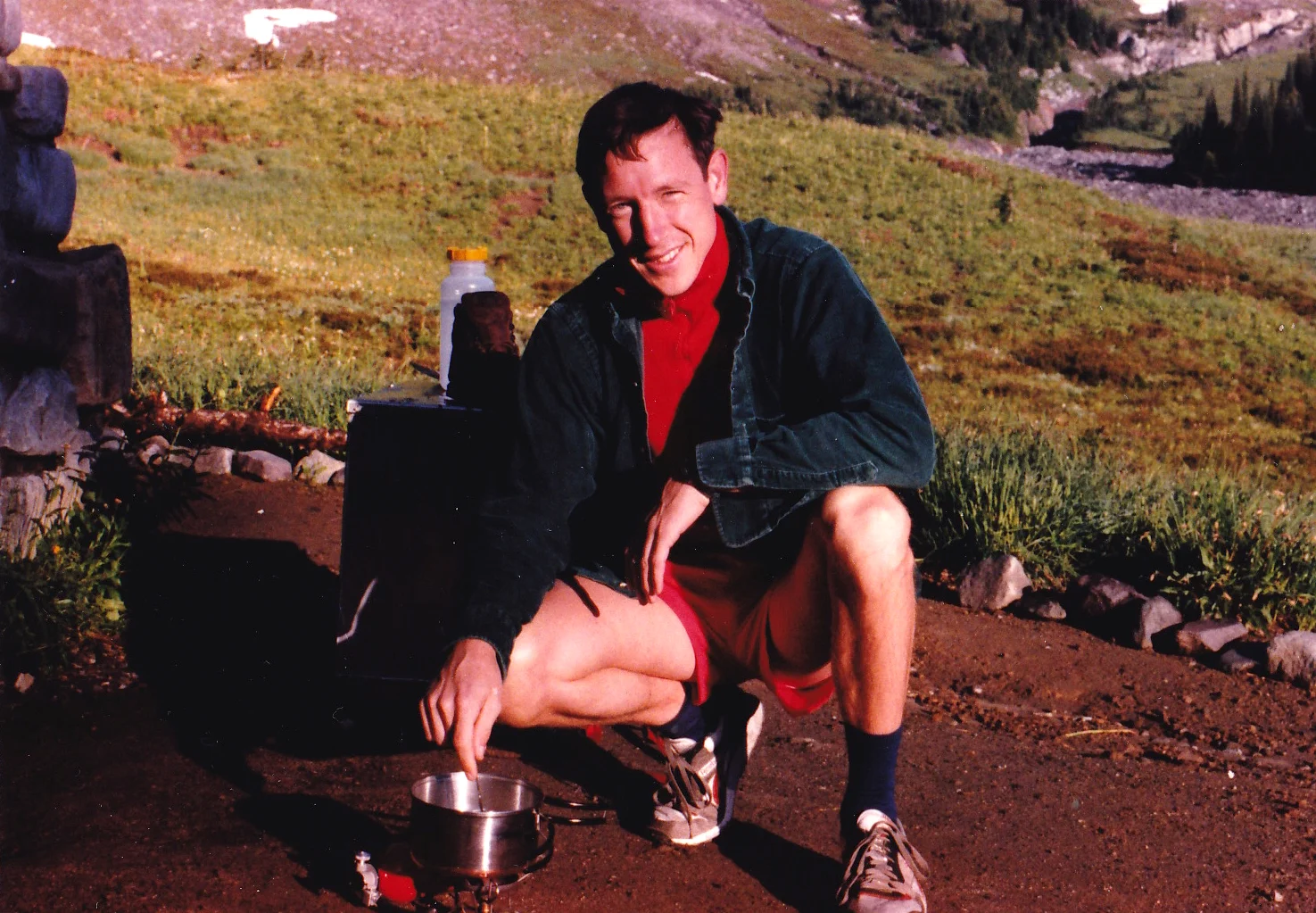
IN THE 90s I ran my first marathon at age 38, eventually finishing over 50 races including Boston 5 times, 50Ks, 50 milers and a few 100s like Western States. I even won my age division a couple of times, once for doing 104 miles in a 24 hour race, and again on a 50 miler (8:18). I also took a mountaineering course on Mt. Baker and climbed a few volcanoes, including Rainier 3 times. But with young kids in the picture my time for these endeavors was limited, which led to trail running to cover distances in shorter times. I liked running the Northern Loop Trail in about 12 hours (35 miles back then) as a trainer, and even pulled off a 36 hour Wonderland over a weekend in 1999. With kid activities increasing as they aged, I stopped training for ultras in 2002 because of the time commitment. However, this background of running, trail running, ultras and limited mountaineering all contributed to the development of my philosophies on fastpacking, hiking, training, mental preparation, suffering and load management, a process that continues to this day and now includes dealing with aging (currently 63 Y/O).
SO WHY WILLIS WALL? After authoring a DVD in 2006 on Kendo for our local Marsten Sensei (Kyoshi 7 Dan), I needed an avenue for marketing, so an LLC was formed. In contemplating a company name, my thoughts wandered to the immense Willis Wall and the time I had spent over the years gazing on this part of the mountain; a quick search showed that williswall.com was available. Willis Wall Multimedia was born.

Maestro, 1976
I MAJORED IN MUSIC in college, gaining a particular fondness for arranging and writing. I would spend hours at a piano, plinking out parts and writing scores by hand. In fact, I once spent my entire spring break copying individual parts from a 100 page score I had written, barely finishing despite 10 hours a day of toil. How times have changed! Now I can conceive, write, polish, play, and record just about anything that pops to mind utilizing a keyboard and drum controller, inputting directly to computer. I can call on a vast library of virtual instruments or record live instruments, mixing any combination. Some of my music has live guitar (not me), bass, flugelhorn, trumpet, digeridoo, drums and of course vocals. I have also embraced video, an early adopter of helmet cams; I have terabytes of archived video, mostly starting from 2005 when I bought my first high quality camcorder. This melding of music, visual and outdoors (and Kendo) is what puts the "multimedia" in Willis Wall Multimedia.
As I near retirement I consider myself extremely lucky, with a marriage going on 32 years and two incredible independent kids. My health and mechanics are still good; I just ran a half marathon with my daughter and have no detriments to my activities beyond weakening vision and old man aches and pains. In fact, I am ramping up running and biking, looking forward to an awesome 35th year exploring The Mountain. I hope you enjoy these pages.

Mt. Rainier summit, 2000