RAMROD 2024
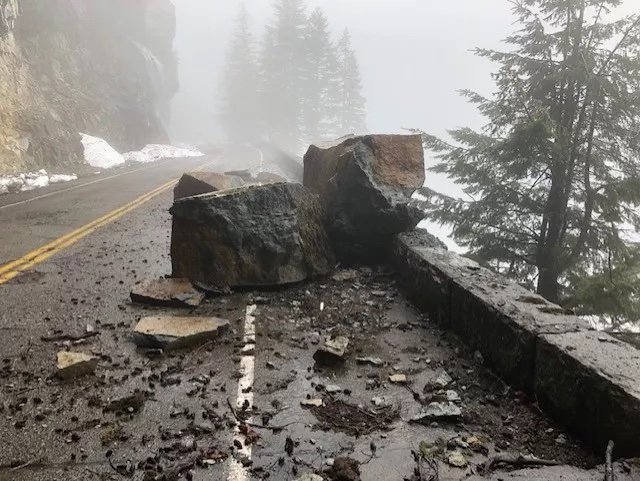
RAMROD (Ride Around Mt. Rainier in One Day) returned for its 40th anniversary in a new iteration for 2024…September 4th vice the usual July date, and for the first time going clockwise. For a while the ride was in jeopardy, when earlier the park refused to issue the appropriate permits. However, probably due to the persistence of the sponsor, Redmond Cycling Club, the way was cleared for the event with the new date and changes. Weather was excellent, cool in the morning hours and very tolerable heat wise in the afternoon.
VIDEO at end of blog

Getting ready for a 5 AM start, Enumclaw, WA

The T shirt
I’ve cycled in and around the park extensively over the years, so am quite familiar with the climbs and descents in any direction. The week prior I had biked (on my vintage Gary Fisher mountain bike) from Longmire (Cougar Rock campground) to White River to position myself for the one day hike back. For RAMROD I was on my Trek Émonda with a new cassette sporting a 32 in the back, making the long but not too steep climbs just right for the bike. The descents were also faster, as I can pedal the bike to 40 MPH.
The ride was very well supported with water and food stops, along with logistical support…this is a well organized ride, so kudos to the myriad volunteers. As an aside, the bib numbers were from (#1) oldest rider to youngest, and I was sporting a medium low double digit number…now I’m looking forward to a single digit on future rides, ‘cause I’m planning on doing it again. Thanks to Sherwin and his 3 buds from Portland, who invited me to join their group on the last 30 miles or so. This was greatly appreciated after 120 miles of solo work.