
MRNP: Martin/August/Virginia/Berry Peaks

Strava data
In the past I haven't done much hiking after October, but this latest November weather is quite conducive to getting out. The forecast for this outing was partly cloudy skies with a slight chance of showers, just right for hitting these peaks that are wooded with little to no views anyway. I knew the Mowich Lake road would be snow free and wanted to take advantage of that before earnest snows set in. I parked where the boundary trail starts and was delighted to see what nice shape it's in. Soon enough I came to the spot where I broke off to hit Martin Peak (4880'). Martin is supposed to have some decent views but despite occasional sun breaks in the morning all of these summits were surrounded by cloud. When I arrived at this summit (cairn) I was quite damp from the constant drips bombarding me from the trees along with brushing against wet branches whilst 'schwacking. However, the mild temperatures helped and my clothing could dry quickly once the moisture bombs stopped.
August Peak (4680') I regained the boundary trail and proceeded to the "end" at the August-Poch saddle which borders a FS road. A mild scramble had me on the August summit, also marked by a cairn. Instead of continuing cross country to Virginia Peak (4880'), I came back on the boundary trail and bagged it from there, only 1/10th of a mile from the trail. This accounts for the longer mileage I had on this outing (11 miles) vice some of the guides which state all 4 peaks consume 8.6 miles.
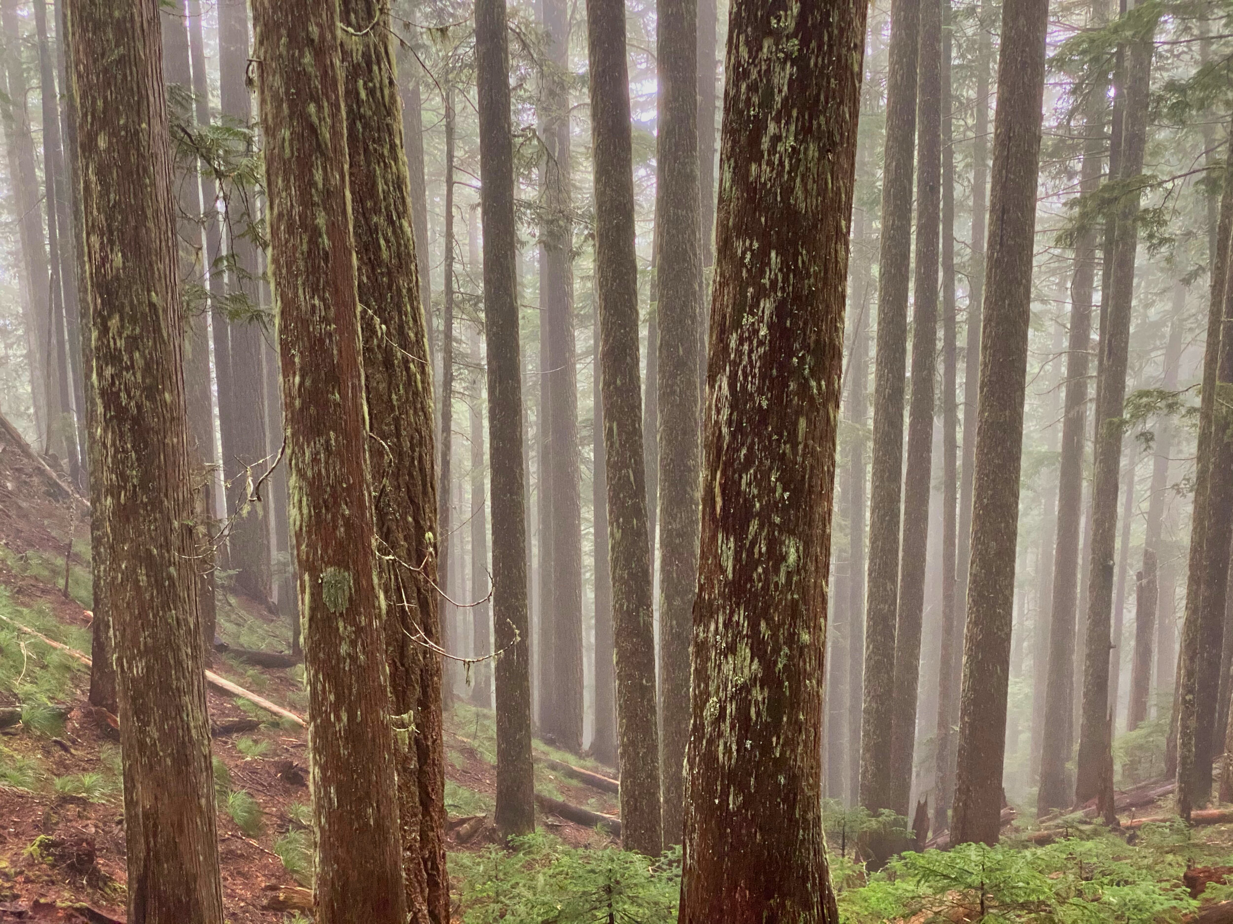
The misty woods; Mt. Rainier’s Boundary Trail
To get to Berry Peak (5120’) I continued from Virginia, sticking close to the ridge lines….there is a subsummit between these two peaks. What with the wet branches, blowdown obstacles and dead branch stubs sticking up from downed trees, I proceeded cautiously with my foot placement. I did not want to fall on any of those nubs and spikes. I circled around some rocky outcroppings on Berry to attain the summit, which offered a peek-a-boo view of the mountain during a brief break in the clouds. From here it was a matter of retracing my steps back over Virginia to set foot on smooth trail. It took me 2.5 hours to leave the trail, tag Virginia and Berry, and return. I was quite glad to be on trail with no obstacles to impede my trotting and I was back at my vehicle with plenty of day light left.

Peek-a-boo view while descending Berry Peak (5120’), Mt. Rainier National Park
This was a wonderful outing in the woods; despite the occasional soaking from wet branches and tree bombs, I thoroughly enjoyed sucking in this moisture laden fresh air and bagging 4 more peaks on the 100 list. Total elevation gain for the day: 4,000’. Total people seen: 0. Once again I had the park to myself.