Wonderland Trail Outlook: 2014

On June 3rd 2014 I grabbed my skis for a check of the snow conditions from White River to Panhandle Gap in Mt. Rainier National Park and was surprised by the sparse cover for so early in the season. I usually do an update of this area every year around the third week in July, but this year I'm glad I was out early. The coverage is so thin below 5000' that I can see the entire Wonderland snow free at this level and below by July 1st. I also think Panhandle Gap will be bare before September 1st. This video is a combination of stills and ski video where you can check out the tree wells and snow levels for yourself. Peruse the Past Updates section here on williswall.com to see what prior years have looked like.

Wonderland Trail Update: Eastside/Jul 09, 2013

Greetings Wonderland hikers. I usually do an update of snow conditions on Mt. Rainier's Wonderland Trail on or about the third week in July, but the melt off seemed to be quite ahead this year so I went up earlier. In a nutshell I put the snow melt at 3 weeks ahead of the same time last year. For those who want to compare, here is a link to Past Updates I have done on the trail.

Instead of just going up to Panhandle Gap this year, I decided to do the whole trail section between Cowlitz divide and the Fryingpan Creek trail head. The following video is a combination of video and stills taken at representative spots along the way so hikers can truly assess what it looks like. I found no serious navigation issues on the snow proceeding over point 5930 to Indian Bar, and reacquiring the trail out of Indian Bar to proceed up to Ohanapecosh Park is clearly evident, with snow mostly absent until attaining the ridge where navigation points are established. Panhandle Gap proper is currently no problem (once again I was able to glissade down) and I would assume that established boot track will appear as people start consistently hiking this section. There are no snow issues all the way from Summerland down to the Fryingpan Creek trailhead, with just a few scattered patches on the switchbacks before Summerland. In order to complete this report logistically, I made a loop hike by continuing CW on the Owyhigh Lakes trail and the Eastside trail for a 35 mile trip.

Wonderland Trail Conditions Update: Panhandle Gap 7/19/2012

On Thursday, Jul 19th, I did my annual trip up to Panhandle Gap to assess conditions of the Wonderland Trail. I used 4 cameras, 3 mounted on a stabilized pole to provide about 270 degrees of viewing angle and a Canon HF100. I also incorporated time lapse stills; you can essentially see every bit of the hike from the snow encountered at 5500' below Summerland to up and over the gap. I did this hike in trail running shoes with waterproof socks and trekking poles. In summary the snow melt is way ahead of last year.

Wonderland Trail conditions: Longmire-White River CCW (8/13/11)

My 16 year old daughter and I attempted a fastpack (2.5 days) of Mt. Rainier's 93 mile Wonderland Trail with the mind that everything would have to fall into place for it to be successful. Although a few hours behind our itinerary, it was looking possible until we hit a snag which stopped us right in our tracks. Since I was on a tight schedule we had to bail out of finishing the trip, but I chronicled conditions at strategic points along the trail for the 33 miles covered.

Wonderland Trail Update: Cowlitz Divide 7/24/2011

hard to find trail in snow and winter debris

hard to find trail in snow and winter debris

I'll not sugarcoat it: I've never seen the trail in such a mess. Turns out the park has reduced the trail maintenance crews for Paradise/Longmire by one half, but still have enough budget to do parking patrol at 11:30 PM...more on that later. I took my daughter and her friend out with the intention of hiking from Box Canyon to Indian Bar and shoveling a path through the snow overhang on the bridge so it would be useable, as the park is still saying not to negotiate the overhang and cross the Ohanepecosh river further upstream. However, we never got there due to the state of the trail coming up the Cowlitz. I seized this opportunity to have the girls navigate through this section and keep them from going too far off track with GPS. For about a mile on either side of the WT trail junction with the Cowlitz Divide Trail, the cupped and dirty snow made navigation very hard. I hadit all looks the same to acquaint them with compass directions, make sure they knew the lay of the land with reference to the map, and show them clues to the trail whereabouts such as visual references with snow clues to finding the trailcover and the presence of sawed off logs. This was no easy task and I had to reference the GPS myself to get a clue where we were. Also, no one has touched this part of the trail. Downed trees, branches, and not a wand in sight. One would think the park service might make helping WT thru-hikers, who take vacation and travel here sometimes at considerable expense, a priority. But I've talked to 3 rangers over the past week (1 on the trail at Summerland) and no one knows much of anything about the state of the trail. I personally find this ignorance disturbing, and if I'd spent thousands of dollars in travel, accommodation, transportation and equipment outlay to come hike the "Wonderland" only to see this mess, I'd be disappointed. Not because I think hikers need hand holding and everything laid out for them, but because it appears the park whipcrackers apparently have other priorities with the slashed budgets handed them.

it all looks the same

it all looks the same

But back to the state of the trail; once we were ascending the Cowlitz Divide proper then the lay of the land was obvious and navigation was much easier....through feet of snow. To help WT hikers in these updates I'm traveling in different footware, this whole day in running socks and Merrill Trail Gloves ("barefoot" shoes). The teens had trail runners on, and no one wore gaiters. My feet got wet and slightly cold, but I can't sayMerrill Trail Gloves all day in the snow it was so unpleasant that I would preclude minimalist footware. I just forgot about it and got on with business. Travel in the deeper snow was much easier than navigating through the trees, but by the time we reached about 5500' and I could see the route ahead, where it dropped to Indian Bar and even over Cowlitz Divide from 5500' onto Panhandle Gap, the hour was late enough where I made the determination we should turn around. Sorry I didn't get to the bridge, as I was packing a shovel and would have gladly spent some time clearing a path. However, with the teens in tow I also didn't like the look of the Divide ahead with it's snow cover and steepness. I've hiked this trail enough to know that you traverse these steep slopes, so with trail runners, no ice axes, and waning day I took the conservative approach. I've never before recommended an ice axe for anywhere on the WT but without checking out the rest of the Divide myself to determine if you could stay safely away from these slopes, one just may be in order.

snow depth at 5000' on the Cowlitz Divide

snow depth at 5000' on the Cowlitz Divide

I realized on this trip that I know nothing about the breeding cycles of mosquitos, as who would have known that in snow 8 feet deep one would be bombarded by the varmints when stopping for a snack? Field testing of the B4 was in order and I must say, this baby is a winner. Speaking of the snow, of course there are bare spots in tree clumps that are showing up, but in some places the snow was an estimated 6-10 feet deep. With temperatures today at 45 degrees at 4000', will we ever have enough heat and time to melt out these portions of the trail before the season is over? As I've mentioned before, I've never seen anything like this in the past 25 years. As the trail does start to appear, it is covered with so much crap, most of the time with a small creek from the melting snow running down the middle, that I found myself straddling what little trail appeared in the upper portions. Once lower, near Nickel creek, the trail is fine, but my daughter and I are seriously considering abandoning our WT thru hike planned in August due to the conditions. As someone said on the NWHiker forum, "sure you can do it, but why would you want to?" Again, your motivations for hiking the Wonderland Trail this year are yours and yours alone.

the Cowlitz Divide looking toward Indian Bar

the Cowlitz Divide looking toward Indian Bar

On day two we took the short jaunt down to Stevens Canyon (today I hiked in sandals) to check out the portion of the trail with the washout. Thankfully the trail crews have done their work here and crossing this section is like any other part of the trail, just don't linger as the rocks exposed and lodged in the dirt above the trail appear to have the ability to let loose at any time.

trail crews got to the recurring washout area

trail crews got to the recurring washout area

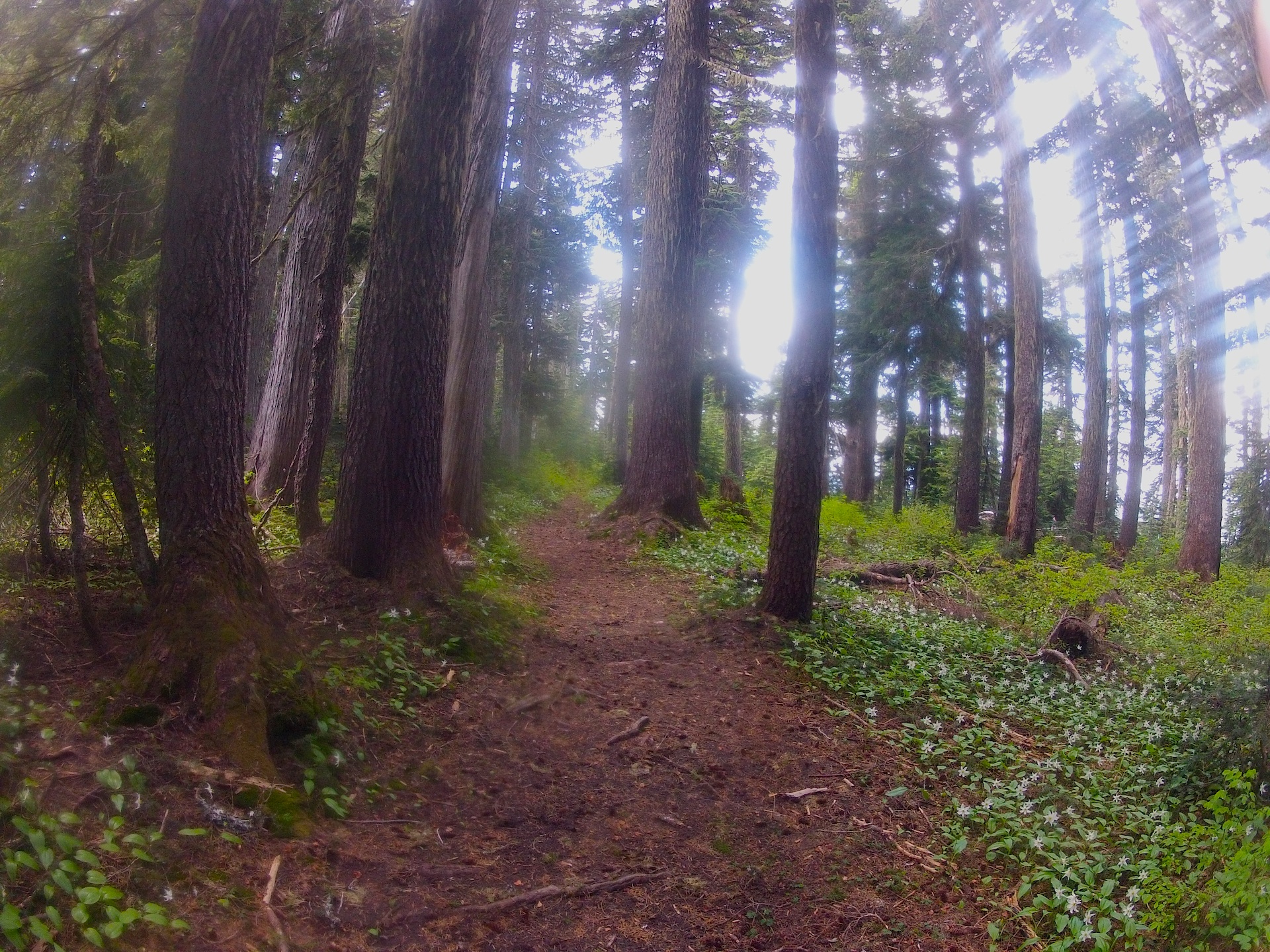
And now back to the parking patrol. After laboring with the poor conditions of the "Wonderland" all day, the most enjoyable times were driving around, making dinner at roadside, filming wildflowers and raging creeks, enjoying the cool breezes and setting sun and the dwindling ice at Reflection lakes. I had it in mind to do some star exposures in the evening between midnight and 2 AM, so we parked at the Kautz Creek lot, us the only ones there, at 9:30 PM. I set the girls up in the truck for snoozing and I laid out on a cot beside it, tripod at the ready for later filming. At 11:30 along comes a ranger, rousting us up and informing us that you can only "camp" at designated camp grounds. Knowing the futility of even discussing this with her, I dutifully packed up, leaving the wide open views of a blazing star filled sky, leaving the bathrooms, the picnic tables, and the trash cans, to go check into Cougar Rock campground at midnight so I could lay on my cot and suck up smouldering camp fire smoke and look up at a severely diminished view due to the trees. Now, I am an advocate for the park rules and understand where they're coming from in this case, but I have slept in my truck a number of times after strenuous and long hikes, both at Sunrise and Longmire, so I never gave this a second thought. I just wonder who makes the decisions to cut needed staff to make hiking Rainier safer and more enjoyable but keeps "parking patrols" to nab dangerous vagrants like myself and 2 teenagers.

vagrant teenagers: surely a threat to the park

vagrant teenagers: surely a threat to the park

Wonderland Trail Update: Panhandle Gap 7/20/2011

The country is sweltering and Seattle has had 78 minutes of summer so far (for temps above 80). Late snows and cool weather have made the backcountry so far behind in snowmelt, it's the worst I've seen in 25 years. I take a trip to Panhandle Gap, the highest point on the Wonderland Trail, and provide a comprehensive video chronicle of current conditions and thoughts on hiking the trail this year.