
Wonderland Trail Conditions: West Side 7/13/2012
I'm just back from a trip to the West side of the park. In general, nice weather in the Seattle area of late seems to be speeding the melt process along nicely. In my estimation, we are ahead of last year and a continuing warm trend in the next week should put Wonderland Trail hikers into more normal conditions by August. I biked to Klapatche Point and hiked the North Puyallup Trail on Friday (7/13/2012) to the North Puyallup River camp. At 3700' the camp has been dry for some time with flowers blooming. To get a better assessment of the snow levels on the Wonderland, I hiked up the St. Andrews Creek trail (accessed from the West Side road) and didn't encounter any snow until 5100'. Considering that Klapatche Park is at 5500', I would venture a guess that KP will be essentially snow free sometime in the first week of August. If you're hiking the Wonderland Trail starting in July, still be prepared for substantial snow travel above 5000' in general. Areas that might see navigation difficulties:
Heading CW from Longmire:St Andrews trail at 5000'
• Indian Henry's, especially descending toward the Tahoma Creek bridge
• St. Andrews and Klapatche Park(s), especially descending KP towards the North Puyallup
• Panhandle Gap, as always
• Cowlitz Divide, especially the area above the trail junction of the WT and Cowlitz Divide Trail....once in the forest, the trail is especially hard to discern on the cupped and dirty snow. Use caution!
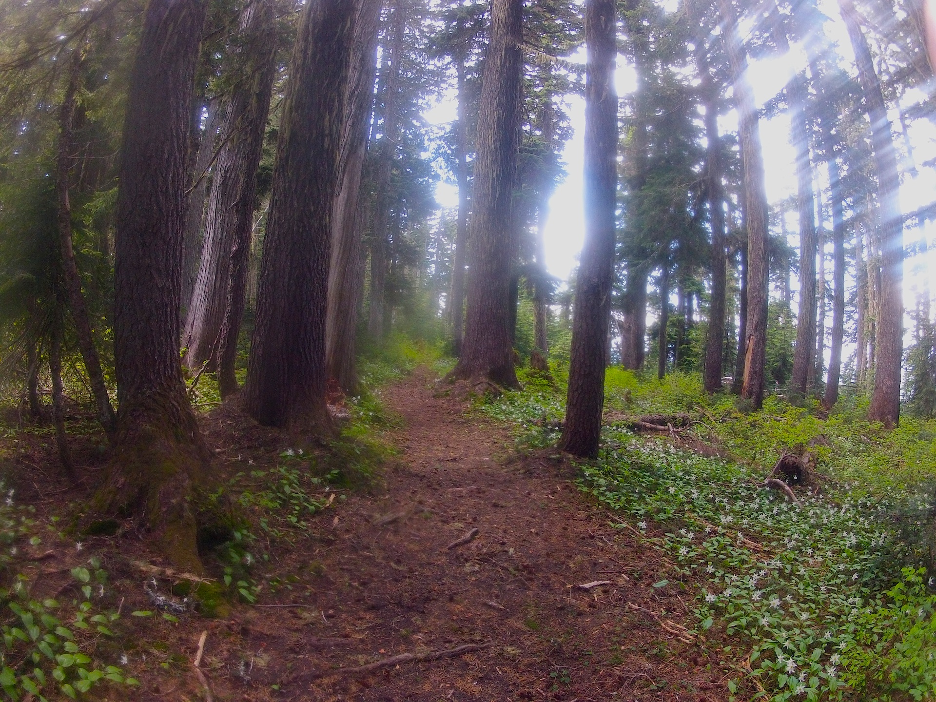
St. Andrews trail at 5000'

the North Puyallup trail, which used to be a road