Mt. Rainier NP: Wonderland Trail hike #32 (9/11-13/2020)
The Wonderland Trail, my old friend, with so many memories associated with it over the years. This year’s hike of the Wonderland, which I count as number 32, was very reminiscent of the series of hikes I did in the 90’s….segmenting each day into approximately 30 milers, although going clockwise getting the meat of the climbs on day 1 (8000’ or so). When starting at Longmire and going clockwise, this means over nighting on day one between Golden Lakes and the North Mowich River camp, then night number two at White River. After so may times doing this hike, each milestone I pass triggers memories of prior hikes. I’ve seen changes over the years, even remembering certain log bridges that have deteriorated, aging naturally as all things do. Could this be my last 3 day Wonderland hike? Make no mistake, covering over 30 miles per day on this trail is strenuous and takes a toll on not just one’s body, but also one’s ability to endure. Maybe not for the trail runners I met along the way, young and fit and covering the same distance each day in many hours less. I had to chuckle thinking that my 17 hour days were what it took the latest FKT runners to do the whole trail. I think there’s something in my makeup that embraces the hardship and difficulties of an endeavor like this, and after just one day of recovery I am already thinking of how I can better prepare for next year’s Wonderland hike #33.

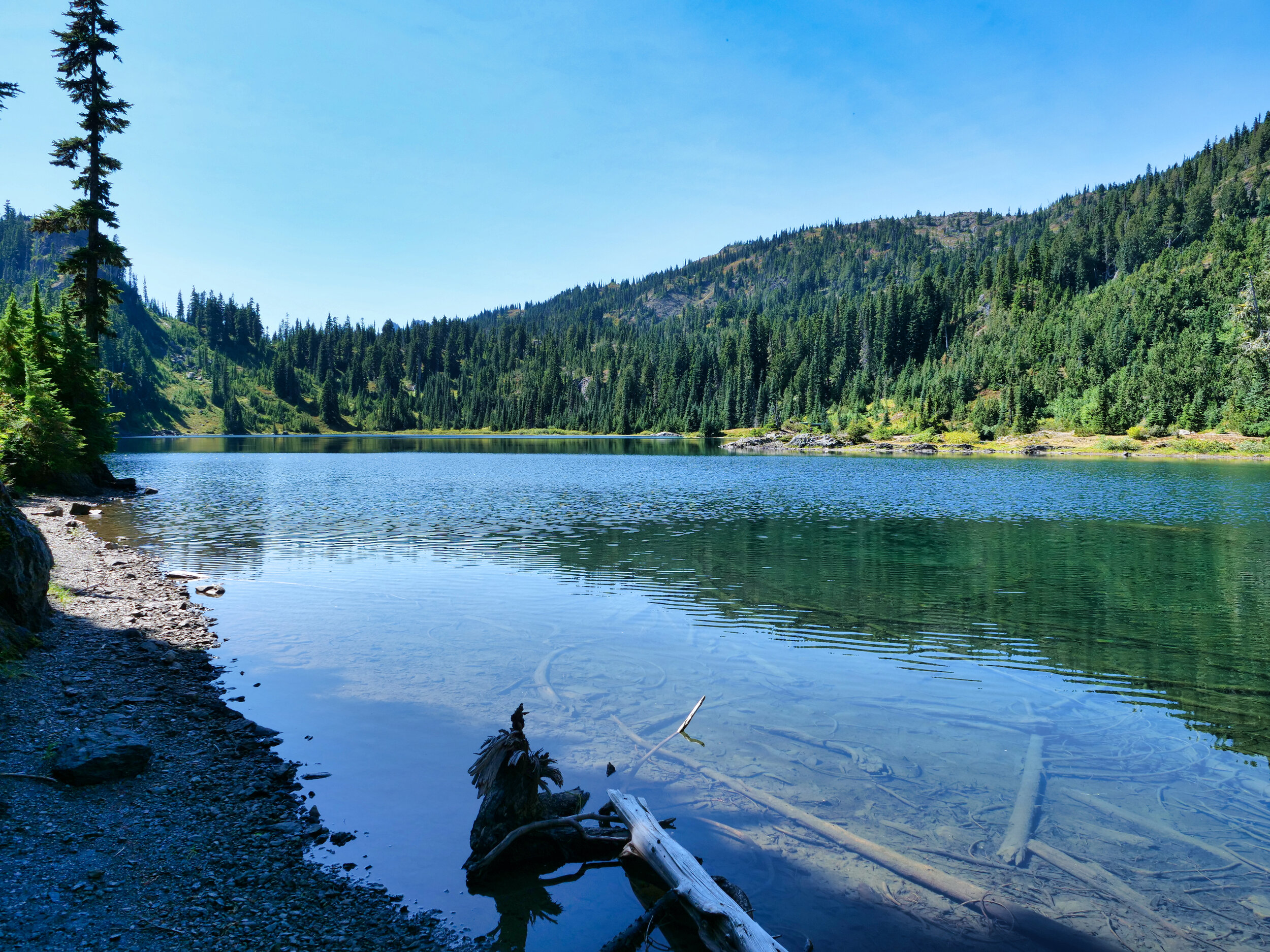
View from Indian Henry’s Hunting Ground, Mt. Rainier
Day 1: Cougar Rock to North Mowich River camp. I started with high hopes of better fitness than in more recent years, having about 300 miles of hiking and 50,000 feet of climbing in August alone, not to mention I have been running during Covid. I started at 5 AM and immediately started down memory lane, coming to the sign at Longmire pointing in each direction. At this point I make a mental note of every river crossing and the changes that have occurred over 35 years, Kautz creek being one example. When I filmed the entire trail in 2012, the river had changed course recently and there was little growth in the plain. Now, alders are 30 feet high and the area is getting choked with underbrush. The bridges I crossed are now discarded, mired in silt and rocks, lonely in their isolation and uselessness. The day progressed with passing all the usual milestones; Devils Dream Camp (just a few campers at 8 AM), Squaw Lake, and the mandatory stop at Indian Henry’s ranger cabin. The rest of the day unfolded with the suspension bridge over Tahoma Creek and transits of Emerald Ridge, the South Puyallup and the climb through St. Andrews Park and some lingering at St. Andrews Lake. Smoke and obscured views would be the norm for this hike. When I stopped at Klapatche Park, it was deserted. Aurora Lake had but a mud puddle in the middle, perhaps refuge for any remaining amphibia. In November last I stood on this lake completely frozen, and I couldn’t help but remember Cassie’s and my transit here at 8 PM some years ago where she was recognized by someone from Chicago. I don’t get that anymore; in past years I would do updates on the Wonderland and almost every year I would get the “Hey, are you Willis Wall?” Now I transit the trail anonymously, and that’s OK with me. On this hike I counted 19 trail runners, more than I have seen over 35 years combined. It’s becoming a thing, I guess, and with the lack of walk up permits this year it’s the only way to do the trail legally without advance permits. Exactly what I did. I did run into a ranger as I was leaving Golden Lakes on Friday night, and we chatted a bit. She told me that the North Mowich River camp wasn’t full and if I needed to stay there (vice going to Mowich Lake) it would be OK. So I did, and when I arrived (after night navigation over the cobbled together Mowich river crossing) the shelter was empty. Perfect for my bivy setup. Plus I had stayed here many times in the past, and nostalgia was in the air.

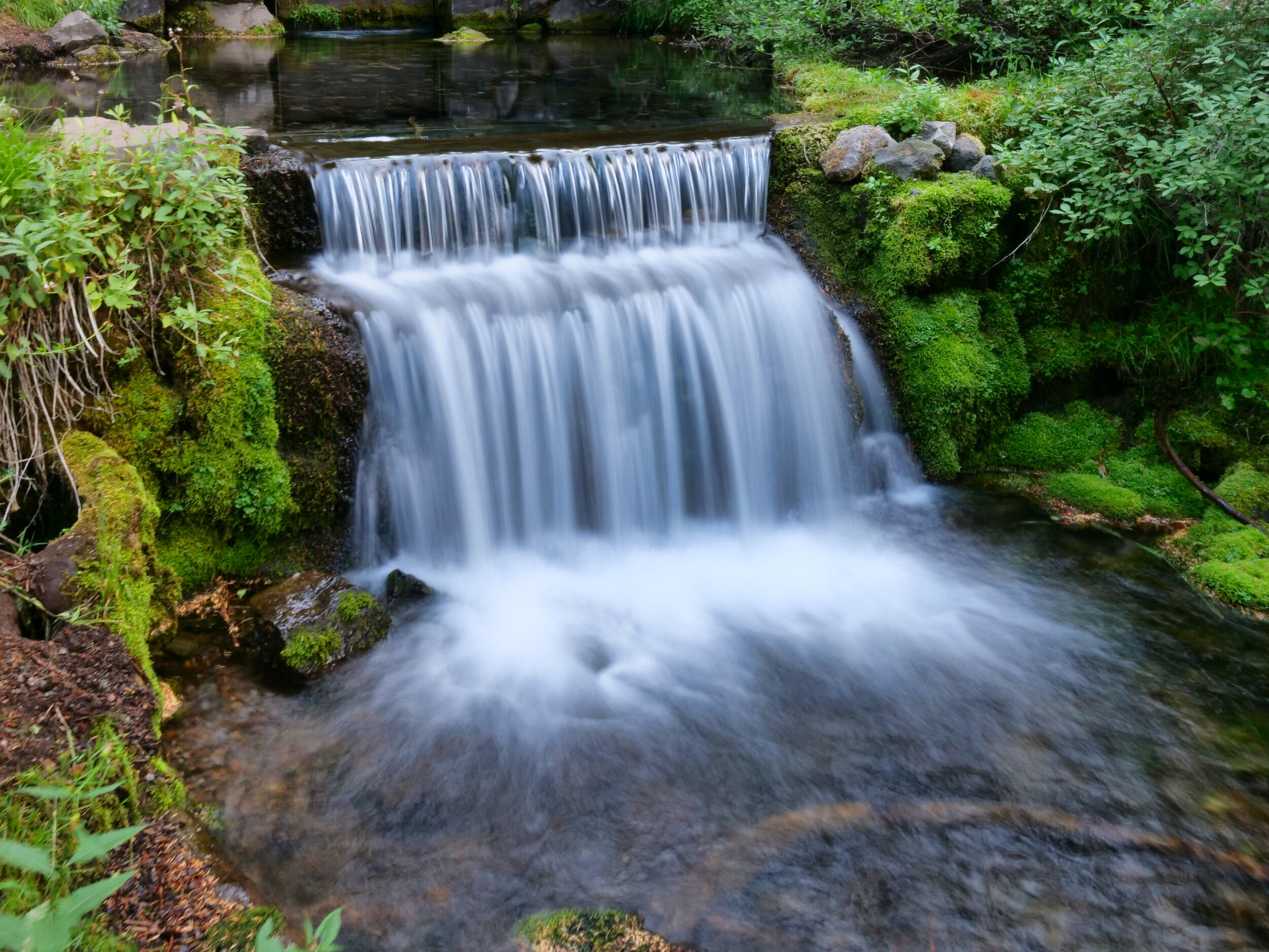
St. Andrews Lake, Mt. Rainier

Silver Forest, this time with day light
Day 2: North Mowich River camp to White River. I should mention what I had for equipment….I used my Zimmerbuilt custom Big Step pack, a Klymit 3/4 length pad, a Borah Gear Cuben Bivy (4.7 ozs) and a Nunatak 40 degree quilt. I carried the original version of the Zpacks pocket tarp (3 ozs) and some stakes for safety, although the weather forecast over my 3 day hike was for no rain. My go to jacket is an OR hooded Polartech Alpha Ascendant, plus I had spare socks, hat and misc. clothing items. I’m always wearing some iteration of Inov8 trail runners. What with food and and a filled 24 oz water bottle, my total pack weight was somewhere around 10-12 pounds. This light pack weight is one of the key reasons I can pull off this kind of endeavor at my age. So with another 5 AM start, I transited Mowich Lake….fairly full campground, and the most people I had seen. One of the reasons was the supported groups of trail runners all stayed here, and there were some Wonderland backpackers also in the dedicated spots…not my first choice for sure. When I reached Ipsut Pass the smoke was thicker than the day before and views were even more indistinct. I had a nice chat with one of the trail runners (waiting for his 3 partners to catch up) at the junction at 2600’. They passed me somewhere on the climb past the Carbon suspension bridge, not to be seen again. They promised me a beer at White River but I arrived too late to find their van. It’s a long climb up to Mystic Pass from 2600’ to 6000’, but the pain ends with the transition to Moraine Park. Usually there’s a fantastic view of the mountain here, but my namesake Willis Wall, and in fact the whole mountain, was absent in the background. Weird. The rest of the afternoon rolled by with me arriving at Skyscraper Pass while it was still light, yet weirdly eerie with the barest outline of the mountain visible through the smoke and layered vistas. I was alone, Saturday night…in September….transiting the area as it became dark, seeing no one near Sunrise or Sunrise camp. I made my way in the darkness down to White River, once again arriving at 10 PM. Now, my usual place to bivy here is on the side porch of the cabin, but, of course, the entire cabin was cordoned off due to renovations. Right next door, however, was an empty campsite with a nice picnic table and a bear locker. Brings to mind the time I stayed here years ago, on a picnic table, staring up at a blazing star show. I laid out my bivy on the picnic table, putting two rocks on either side. I did not want a recurrence of a few years ago when I fell off a table when orbiting Mt. Baker. Not a good feeling, waking up whist airborne and smashing into the ground in your cocoon. This is one of the reasons I brought the Klymit pad, as it’s wider than the NeoAir and is much harder to roll off. Once the twitchy legs settled down I slept soundly, awaking at 4:30 AM.

Day 2: Mowich Lake, Mt. Rainier

Eerie Mystic Lake in the smoke

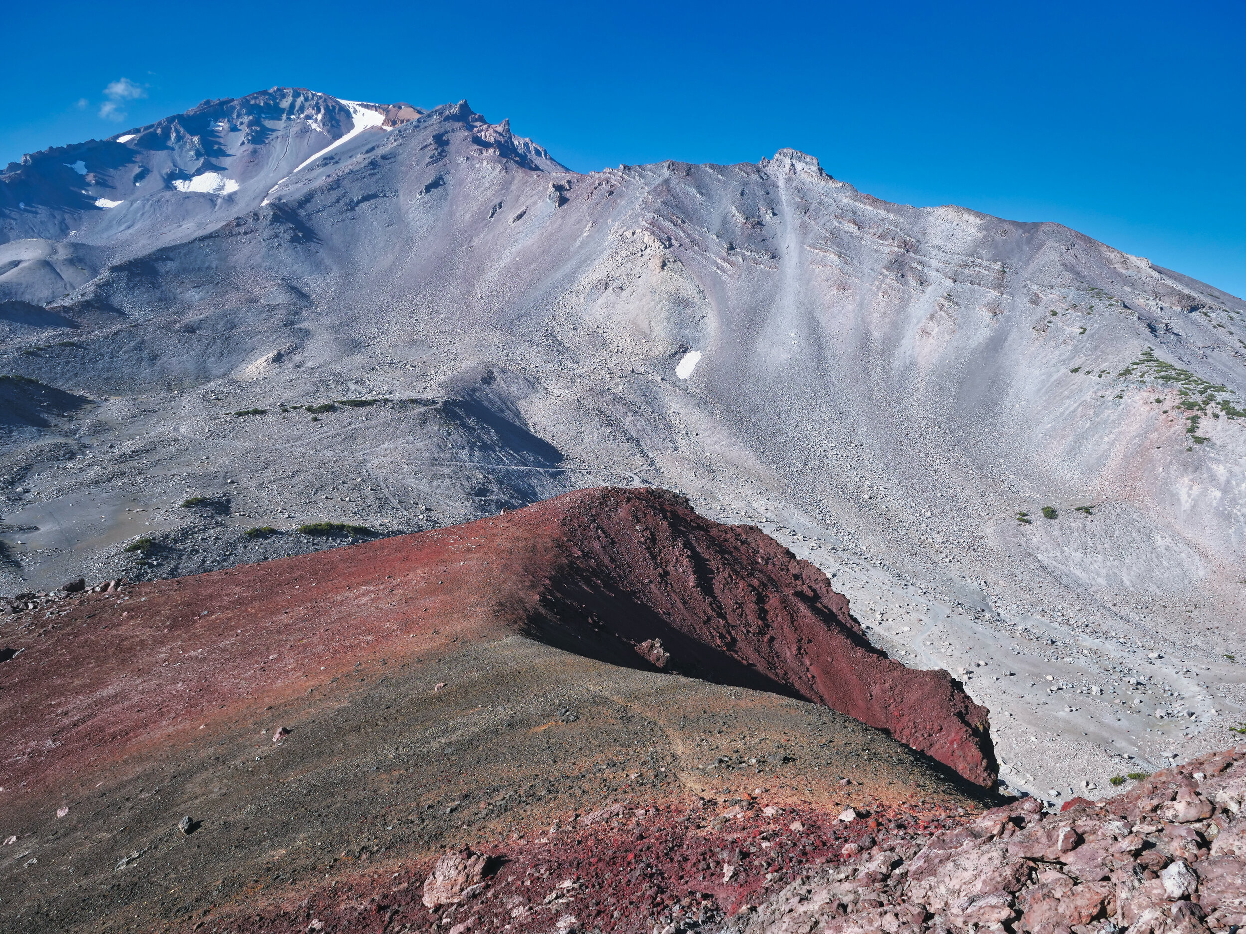
Layers from Skyscraper Pass
Day 3: White River to Cougar Rock. There’s a sign advising hikers to use the alternate route down the road vice the log bridge over the White River. I think this is due in part to the fatality this year of the person crossing the Mowich River on a sketchy bridge that was awash on one end (with no handrail). However, I had confidence that the bridge was OK at 5 AM and indeed, was no problem. Most people don’t realize that it was only a matter of some years ago that the log bridge over the Carbon, and the trail paralleling the river to Fryingpan Creek, was built. Wonderland hikers always had to walk down the road, cross the bridge, and then take a short connector trail to the Wonderland (if you’re wondering why that trail is there). I think I discovered this around 2005 when I was filming for my Wonderland DVD. Well, it’s a beautiful manicured trail up to Summerland, and when I arrived there….it was empty. On Sunday morning in the middle of September. When I left I ran into another group of trail runners that I had seen the day before, and we yo-yo’d until sometime after Panhandle Gap…devoid of snow. Soon after they whisked away and were not to be seen again by this old man. Oh, to move like that. The worst part of the day was enduring the incessant down steps to Indian Bar. You better hope your knees are up to the task, even with poles. When I arrived at Indian Bar there was a group of backpackers enjoying the shelter and I chatted with them. They had stayed at Summerland and were heading for Maple Creek, and in fact I saw them the rest of the day. I was having dinner at Maple Creek when they arrived, around 5:30 PM. Guess I wasn’t moving as quickly as I thought I was, with my 10 pound pack vice their 30 pounders. After Maple Creek it was the “Final Fog” of finishing the trail, climbing out of Stevens Canyon. I always underestimate the length and the difficulty of this climb to Reflection Lake….which was deserted….on Sunday afternoon/night in the middle of September. Just unusual. The Fog: watching footing on the descent with a very rooty trail, waiting for the “pipe” to appear signifying the approach to the Nisqually River, feeling the air change as a way of gauging one’s closeness. I had to chuckle crossing the bridge to the Nisqually; there was a mouse on the bridge, trapped by this towering biped. I stepped back and encouraged him to continue on to the safety of terra firma. Reminded me of the time I stepped aside to let a deer pass on the North Puyallup trail. Or the time I had to gingerly pass a bear on the Cowlitz Divide with little room on either side, who was thankfully too engrossed with eating blueberries. Or the time I was sitting on a rock in Moraine Park in mist and was passed, within 10 feet, by an elk and calf. And the time I turned 8 Y/O Cassie around In Spray Park, telling her “look!” as a cinnamon bear ran past us. Why do I come back to the Wonderland after doing it so many times? The memories are etched in my soul to the point it has become part of me. As the years pass I may have to adjust my itineraries, but I can’t imagine not coming back to this trail and this park; until I can’t.
Click Here for the video journal of my 2020 Wonderland Trail hike.

The Green Tarn above Summerland, Mt. Rainier

The Wonderland Trail on Sep 13, 2020

Ohanapecosh Glaciers, above Indian Bar, Mt. Rainier