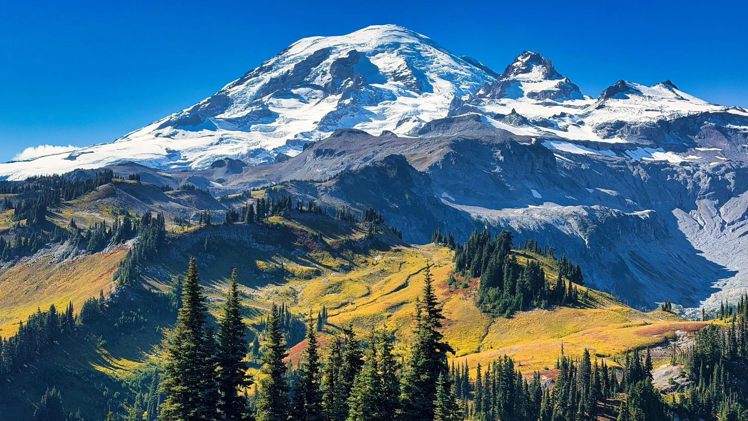
Mt. Rainier Eastern Loop
It’s been 13 years since I’ve done the Eastern Loop, so with this year’s closure of the Wonderland Trail (north section) I figured I’d revisit. The Eastern Loop utilizes the Wonderland Trail, the East Side trail, the Owyhigh Lakes trail and the Cowlitz Divide trail. There are no “gettin’ there” miles on this loop, you are either in glorious alpine or in fabulous old growth. NOTE: video of this loop at end of article
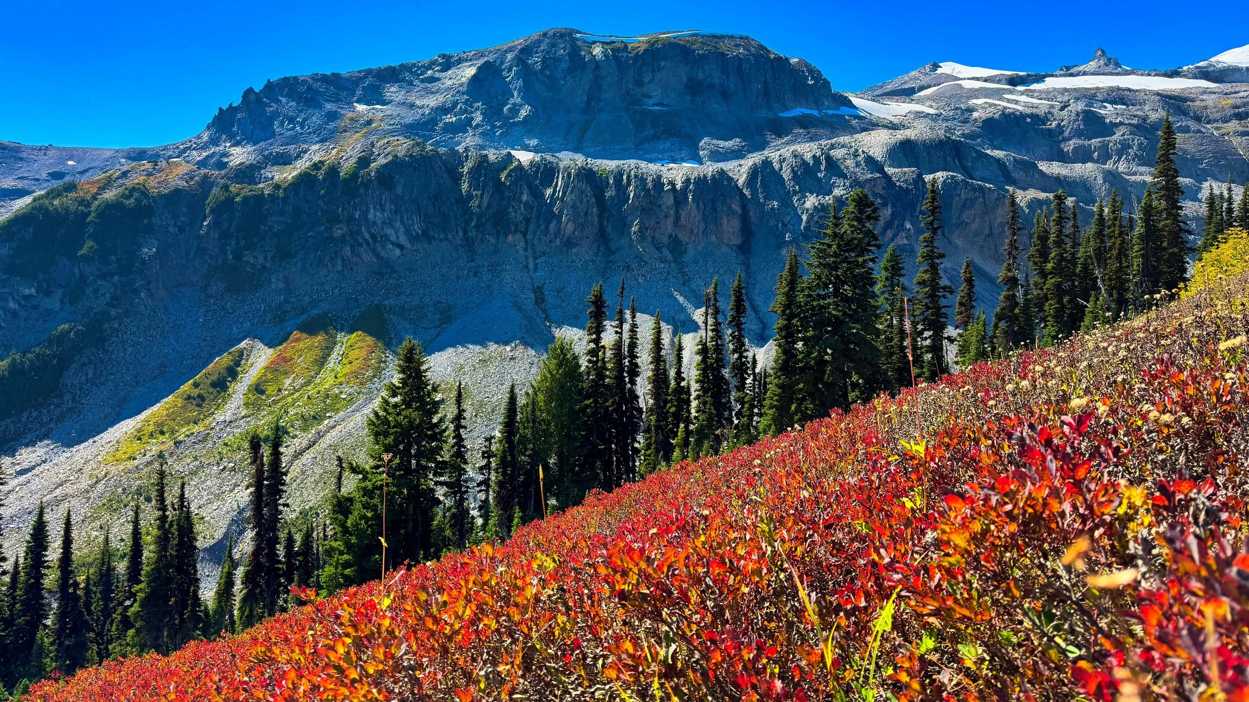
Meadows above Indian Bar
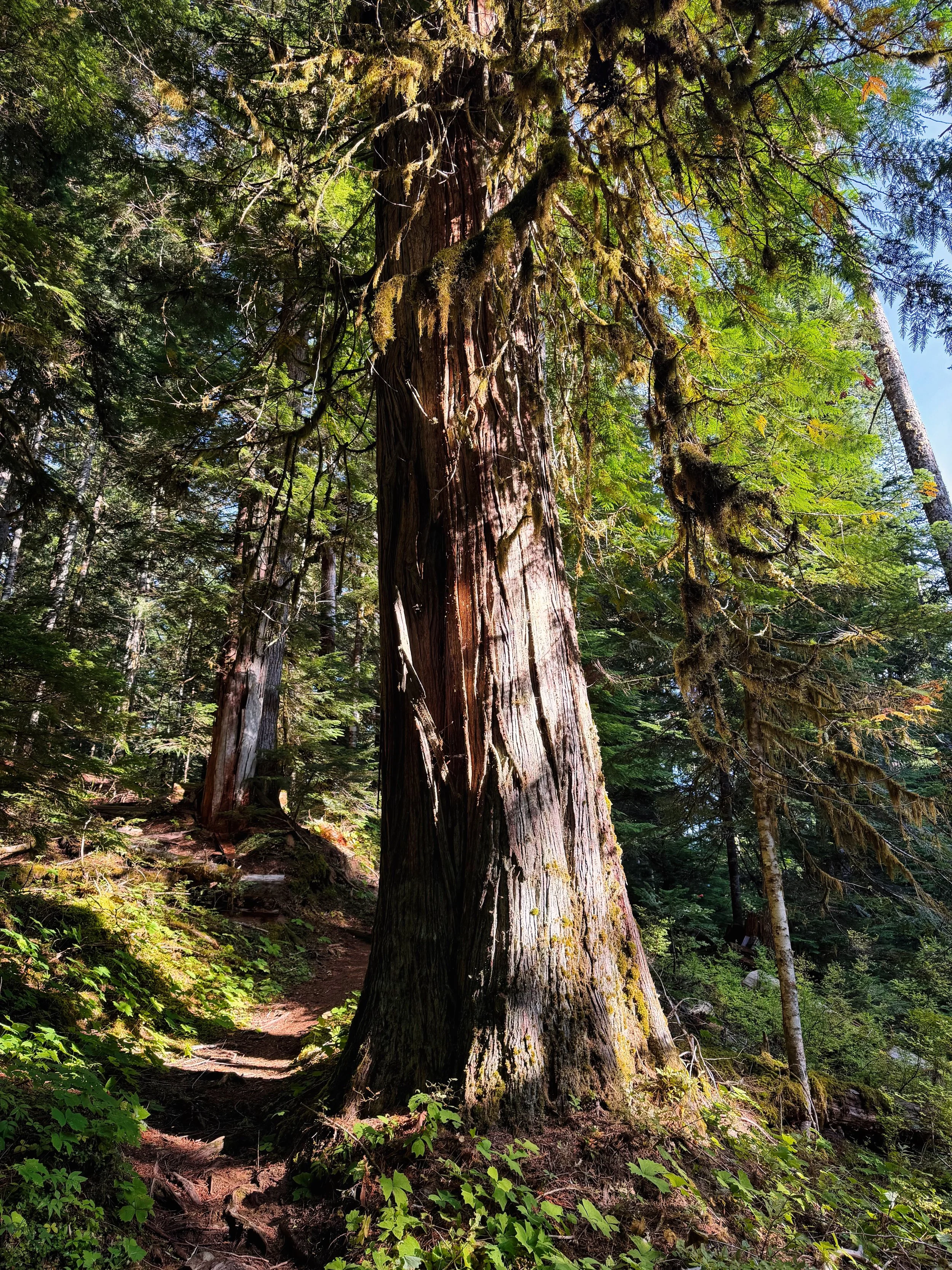
Old growth spendor on the East Side trail, part of the Eastern Loop
When hiking the Wonderland Trail, one is constantly bouncing between lower and higher elevations due to the valleys carved by the glaciers and rivers. This loop allows one to linger in both the alpine and old growth without interruption. My iteration (CCW) started/ended at the Owyhigh Lakes trailhead near White River. I walked the short .5 miles to the Fryingpan Creek trailhead (picking up the Wonderland Trail), then gradually climbed through lush forest, eventually switch backing up to Summerland. There’s a definite border just above Summerland, where meadows and flowers stop and rock begins. The transit past Panhandle Gap (6780’), through Ohanapecosh Park and the descent to Indian Bar is sublime. One of the best vistas in the park is gazing across the valley below to the cliffy expanse and the glaciers that spawn the Ohanapecosh River. Mountain goats abound in this area. In early summer the sloped meadows above Indian Bar are lush with purple flowers, then in the fall sparkle in red when the sun shines through the blueberry bushes.
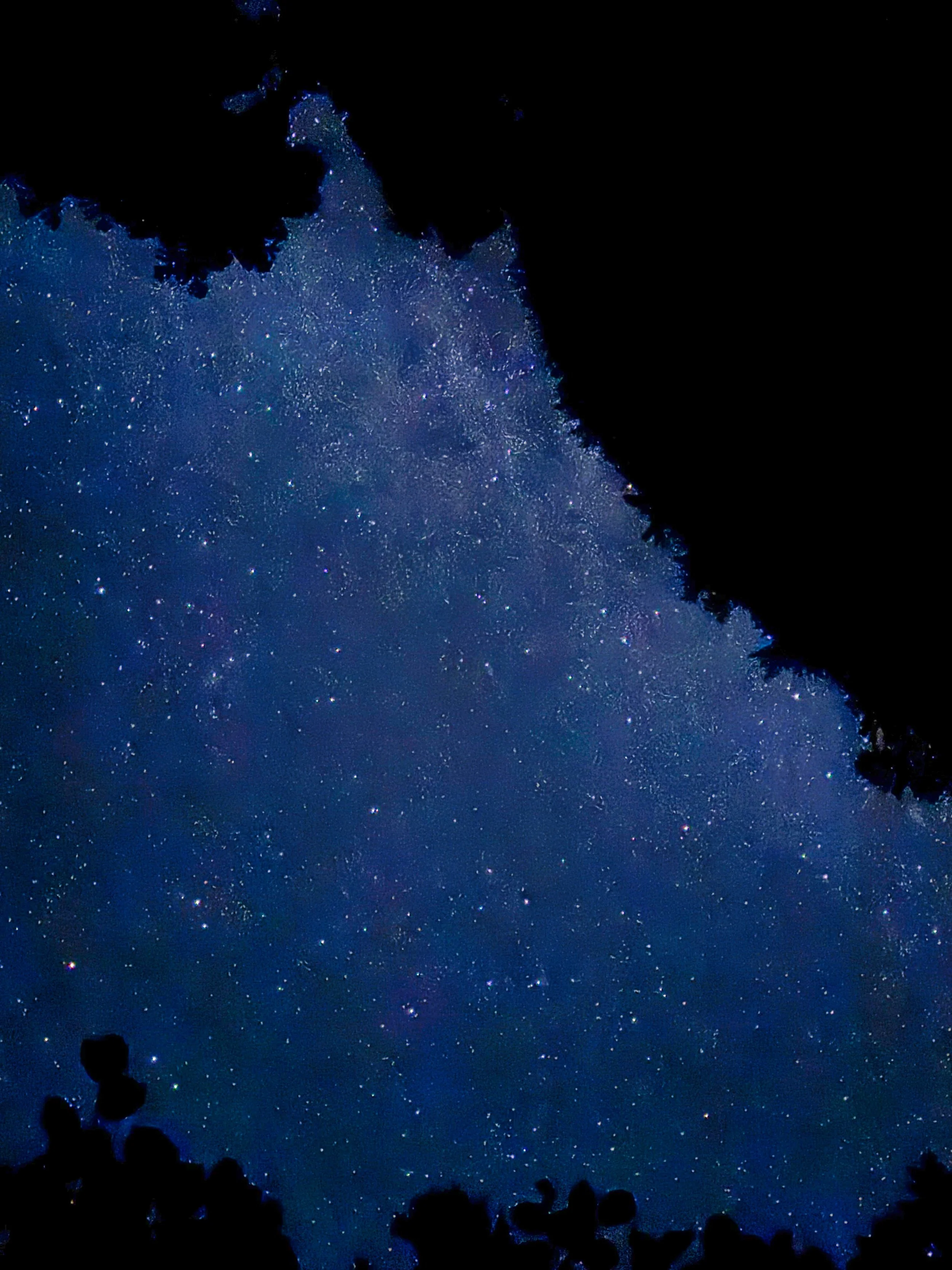
View from my bivy at Olallie Creek camp
Indian Bar is another wildly popular gem, sporting its iconic shelter, Wauhaukaupauken falls and surrounding meadows. In the fall it is not uncommon to see bears gorging on blueberries here. Then off you go to transit the Cowlitz Divide, undulating with in and out views of Mt. Adams. I had a permit to stay at Olallie Creek camp, a short distance on the Cowlitz Divide trail. That first day entailed 16 miles with 4800’ of climbing.
The next morning started my ramble through old growth forest lasting most of the day. The East Side trail stays in this zone until one has climbed enough on the Owyhigh Lakes trail to experience the transition to the more hardy trees typical of higher elevations. After passing the Owyhigh Lakes (with the impressive Governors Ridge behind) the trail is smooth, wide and inviting all the way to the trailhead and my waiting vehicle (Day 2 stats were 21 miles with 3600’ of elevation). TOTAL for the loop: 37 miles with 8200’ of elevation gain. All in all, this is a spectacular hike and, IMHO, one of the best transits one can do in the park.
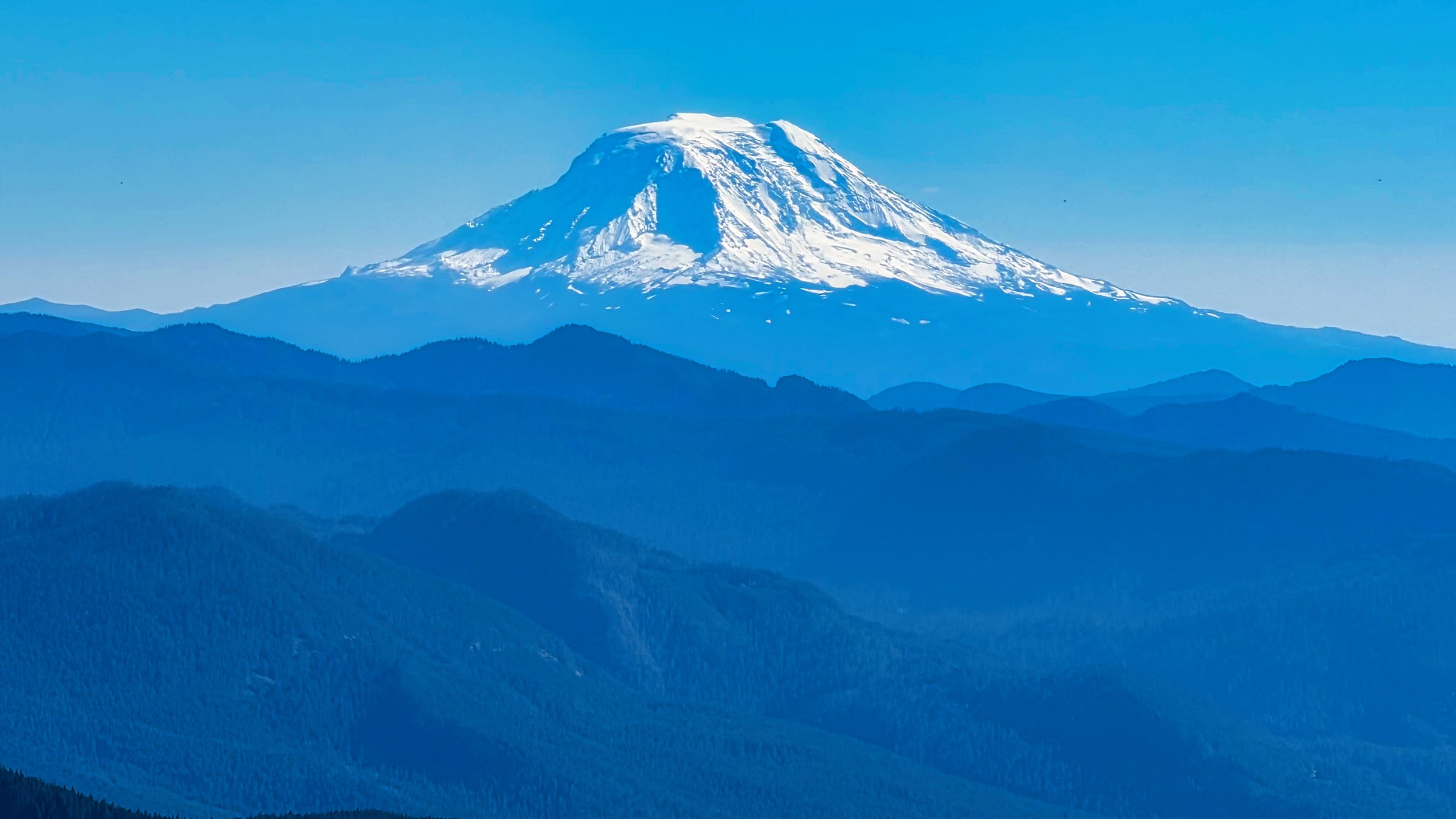
Mt. Adams from the Cowlitz Divide