Stevens/Boundary Peaks: 8/12-13/2026
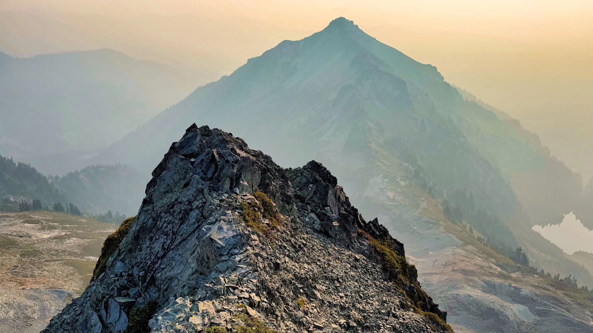
I had it in mind to hike the Wonderland this week, but the Grand Park 2 fire put the kibosh on that. Instead I opted to add a few more peaks to my Rainier 100 Peaks list, with Stevens (#81) and Boundary (#82). The trailhead for these peaks on the south side is Tatoosh 161 off FS 5270. I had been on this a few weeks before with Michelle, where we overnighted in our vehicles and hiked to tag Tatoosh peak. She pointed out that "hey, you can approach both peaks right from here (an intersection with the main trail and climbers track) and avoid doing that whole Unicorn glacier mess." For that trip I had my RAV4 and it was totally fine for the road, but this time I was hanging in my van and no way was I going to take that (there was one washed out section with a gully in the road). So I decided to park at Longmire and bike to the trailhead, about 20 miles. I got a late start after a big breakfast and stashed the bike off the side of the road, ready to ambulate. I had a permit in hand for up to 2 nights in the Tatoosh cross country zone, although I was confident I would only need one night out. Taking Michelle's advice, I had downloaded a GPX file from someone who had done the same itinerary. Most of my peak bagging has been from vague descriptions where I basically find my own way, but I gotta admit having a track from someone who had made the trip before was tremendously helpful and probably saved me a lot of time. I arrived at the saddle between the 2 peaks right around 6 PM, pretty sure I could get Stevens done before dark. The worst part of the trek was getting around a gully from the saddle. After that the scramble itself was fairly straightforward and I found myself on the summit just before 7. Unfortunately, the cloud layer was low so far reaching views were lacking. I had it in mind to bivy at the saddle where I had left my food, but when I came across a perfect spot with a tarn nearby, I decided to leave that scramble for the next morning and made camp just before 8 PM. I was surprised to see I had 5G service so called my wife for a chat..in the middle of nowhere without seeing another person for 2 days. When I hung up the cloud layer was low but within an hour the stars started to appear. I set up a camera and time lapsed (night mode) for over 4 hours. Nothing like laying on your back and waiting for the occasional Perseid streaker to light up your night, not to mention myriad satellites passing overhead. I shut the camera off with predawn light and got up and going around 6 AM. The dreaded gully awaited, but from this lower vantage point I could see that I could bypass most of it by circling left and staying on meadow and hugging cliff bands. Once at the saddle I had a food break and then immediately was on the scramble for Boundary. Getting started was confusing, as there are small cliffs in the way before going on a sidehill track before making a beeline for a summit. After a few false starts I got past that barrier and followed my downloaded track left side of Boundary until it was time to swing up to the final section. Although Boundary is described as a moderate scramble, I thought it was a bit harder than Stevens (described as a difficult scramble). The skies were clearer but now a bit smoky, so I could at least enjoy some hazy views from the smallish summit. Careful down climbing had me back at the saddle at 9 AM and I regained my bike at noon. Most of the 7 mile FS stretch was downhill this time on the bike, but then the 12 miles on Skate Creek road was all uphill, although at a gentle grade. All in all, the plan worked out splendidly, with plenty of time to shower and enjoy an early mediocre dinner at the Longmire Inn, sipping a hot cider on the porch and enjoying the evening breezes. Bruising on my arms from pokey branches and occasional slides on rocky scree, along with a few other minor injuries, did not detract from the satisfaction of spending alone time in the Tatoosh and seeing a plan come together with goals accomplished! Note: the summit elevations for both peaks differ according to source. The ones I published here are from the Mountaineers “100 Peaks in Mt. Rainier National Park” guide.