Wonderland Trail #39 (8/19-21/2025)
This was my second circuit this summer, or third if you want to count RAMROD. I'm aiming to do one more to bring my total to 40 this year, then I can back off as I march toward my 80's. This CW circuit, starting at Longmire, had me meeting people on the trail. Frank from the Wonderland Trail Facebook group was scheduled to be staying at the No. Puyallup camp on Tuesday the 19th, so I planned my hike to meet him there. However, the No. Puyallup camp is only 20 miles into the hike, so I got a permit to continue on to Golden Lakes for the relatively short 25 mile day. Short in that I needed to make up mileage in the ensuing two days to finish on Thursday. And they were long indeed.
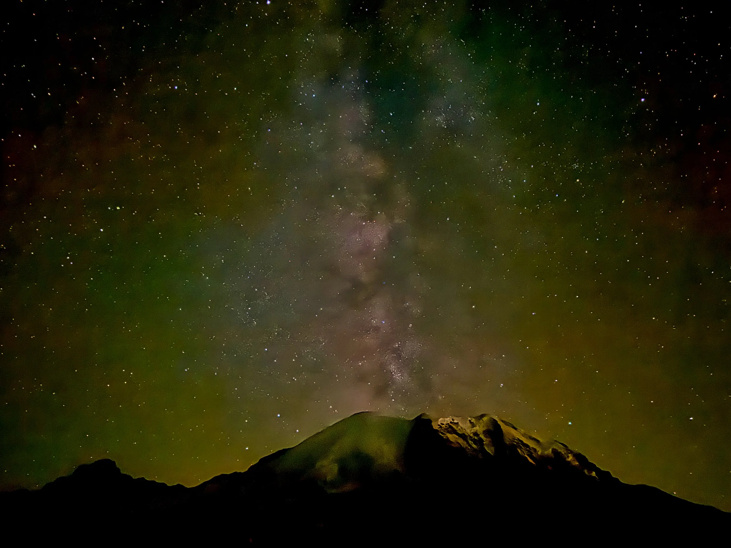
Mountain from Kautz Creek
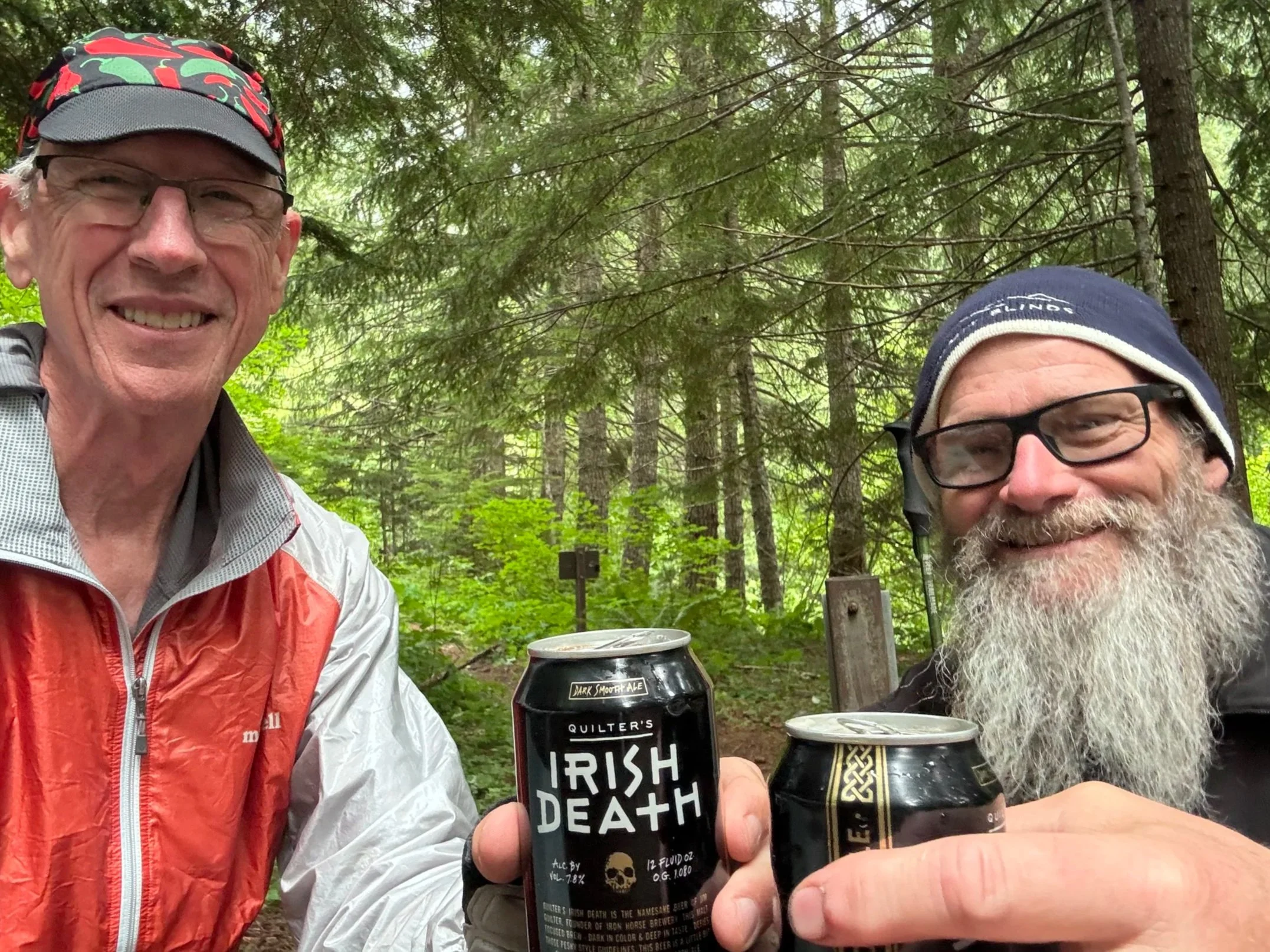
Icon Frank from the WT facebook group
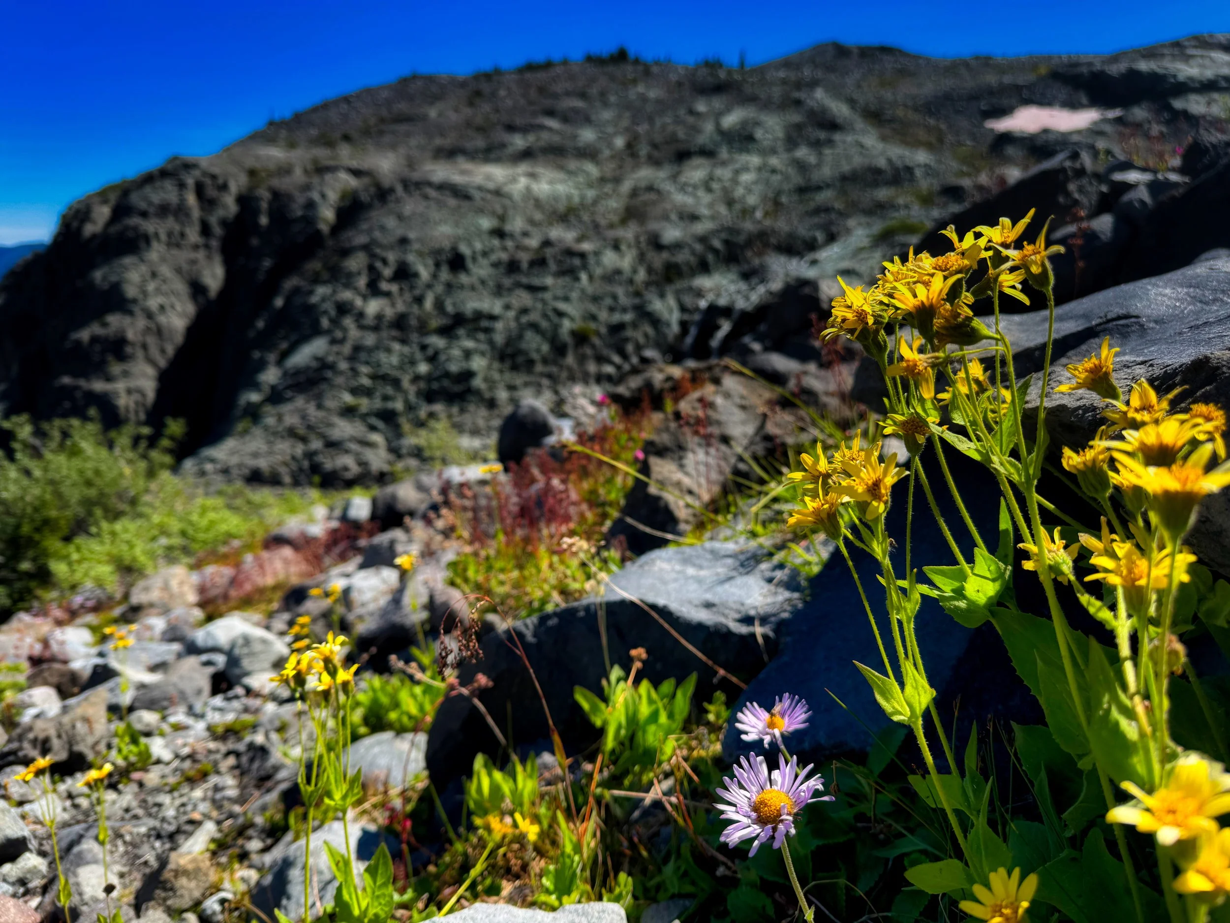
Day 1: Longmire to Golden Lakes CW (25 miles/8400' elevation) This was a partly cloudy day but with cooler temperatures, keeping the sweat factor at a minimum. But I started out on the wrong foot, being tricked by confirmation bias. I had just transited the Kautz Creek area the week before going CCW, going back to make my WT #38 official by hiking the portion of trail I had left to road walk for foot relief. Unbeknownst to me (wasn't posted yet by NPS), the new bridge had washed out with the recent rains. I followed the route I had just taken to the "bridge", and finally paid more attention to my surroundings and all the evidence of a minor flood. I ended up crossing the Kautz 3 times to make my way back downstream to pick up the trail, eating up at least 30 minutes of extra time. The flow was but knee deep tho so wasn't a problem beyond grit in the socks and shoes. The remainder of the day was pleasant, transiting Emerald Ridge and St Andrews Park, still amazed that the flower show was hanging in there, although on the downside. I arrived at No. Puyallup around 5 PM and found Frank, where we drank the beer I had packed in and shot the breeze for close to 2 hours, joined by another couple for a little party. I took my leave at 7 PM and got back on the trail for the trip to Golden Lakes. I set up my bivy around 10 PM and eventually fell asleep, anticipating a 4:45 alarm.
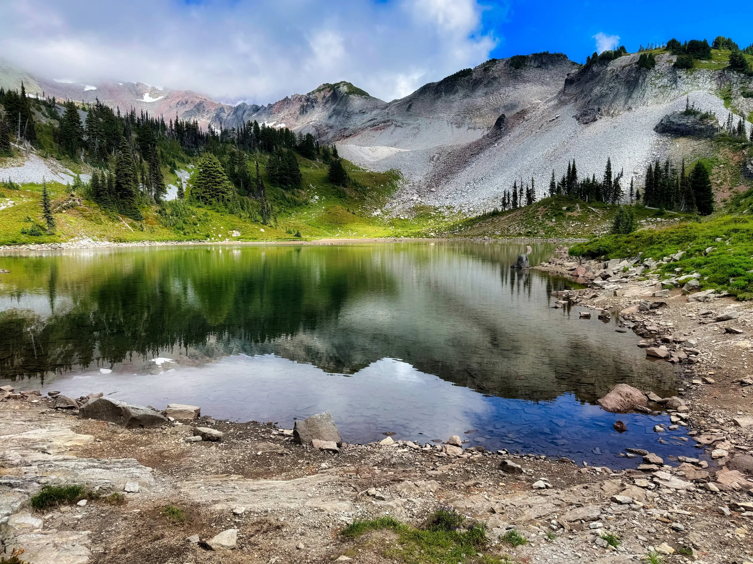
Kiya Lake, below Indian Henry’s Hunting Ground, Mt. Rainier
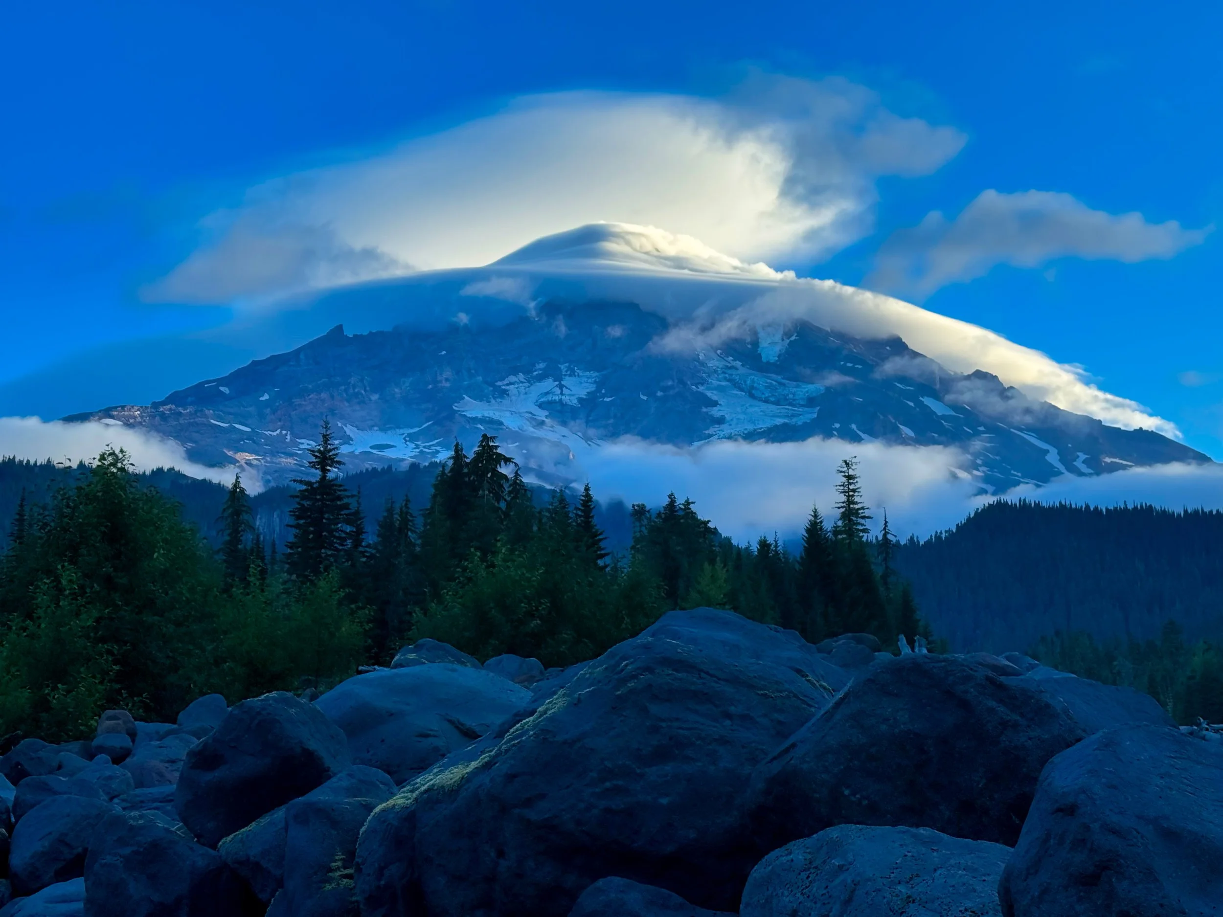
St. Andrews Lake
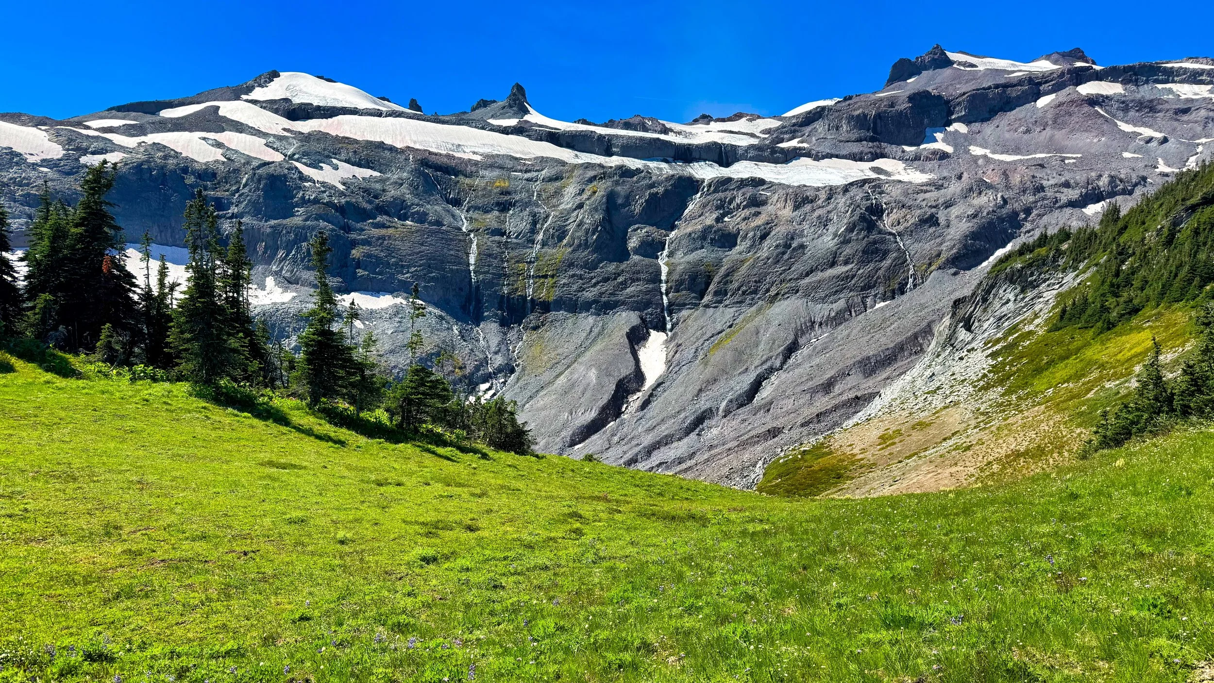
Day 2: Golden Lakes to Sunrise Camp (33 miles/9200' elevation). I tried not to let the impending mileage for the next two days bother me or make me feel rushed. I trotted most of the way downhill to the Mowich Rivers crossing, which had also been altered by the flooding. The So. Mowich bridge was gone, but the river had rechanneled and I ended up staying left of this almost all the way to the So. Mowich camp. From there is was essentially last year's route to the main bridge over the combined So. and No. Mowich Rivers. The "climb from hell" (as my then 13 Y/O daughter called it) to Mowich Lake came next, but it wasn't the worst of the day. Since I had taken the alternate route over Spray Park in July, I opted to go via the regular Ipsut Pass route, having heard no news on the status of the lower Carbon crossing. When I got there the bridge was still standing but trail crews were essentially roping it off, deeming it unsafe to cross as the far end was perched precariously on an eroded bank. They did their due diligence in advising me not to cross, but the alternatives were scouting downstream for a log crossing, or retracing my route back to Mowich Lake and going over Spray Park; not gonna happen. I crossed the bridge uneventfully, deeming this the best option, but as of this writing the park is still posting to avoid the bridge and go over Spray Park to utilize the suspension bridge upstream. Now I could turn my attention to the remainder of the 3600' climb to Mystic Pass. I arrived at Mystic Lake before 8 PM and had good light for photos and video. I still had another climb coming, descending around the toe of the Winthrop Glacier and topping out at Skyscraper Pass. I took some exposures there (11:40 PM) then got my grit on to get to Sunrise camp around 1 AM. It always takes a while for my legs to settle down and finally fall asleep, and this was going to be a short night as my last day was going to be even longer, but thankfully with less climbing. Of note, aside from the trail crews I ran into, I saw but 1 other hiker the whole day.
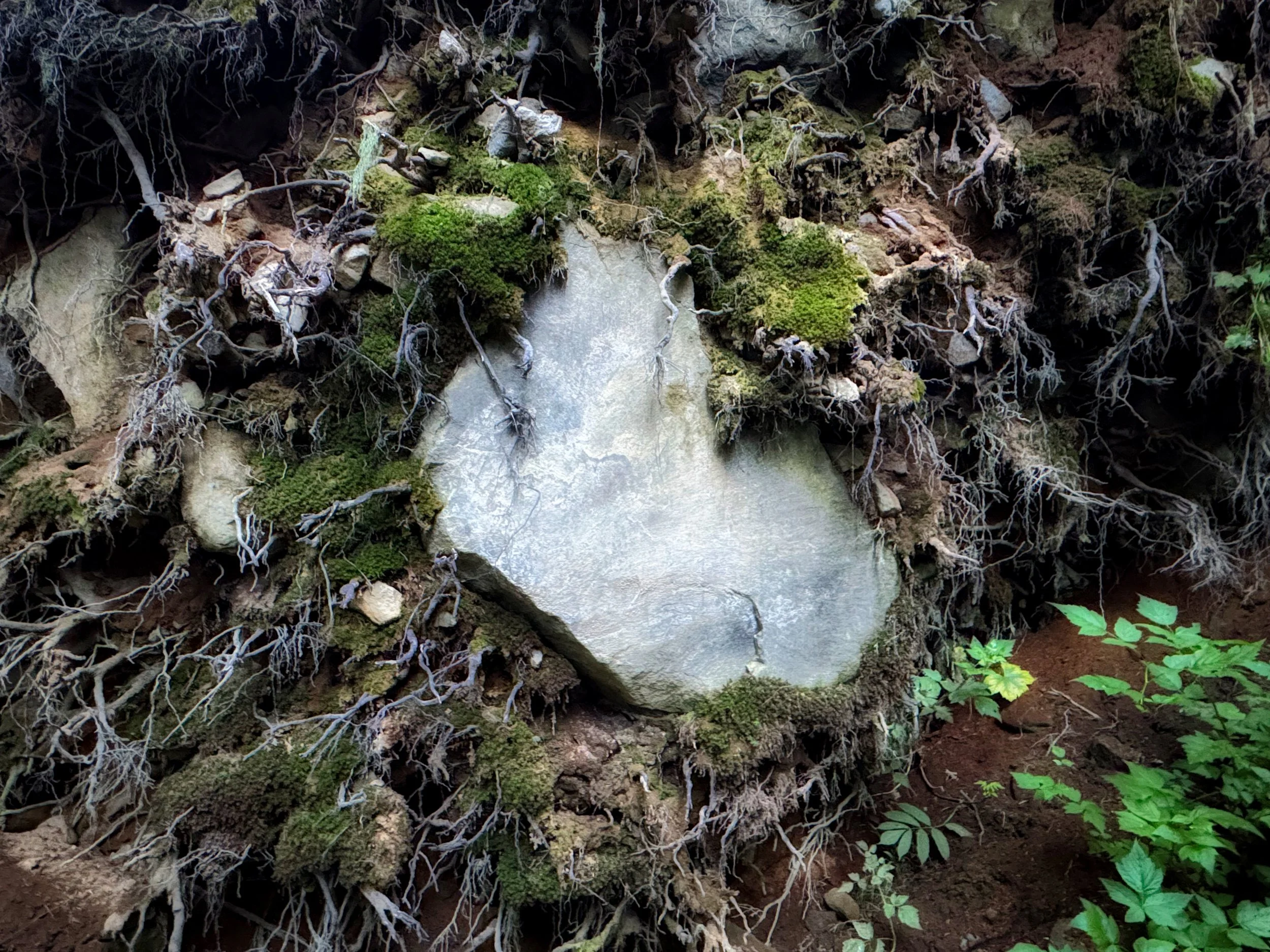
A boulder buried in the upended root ball of a fallen tree
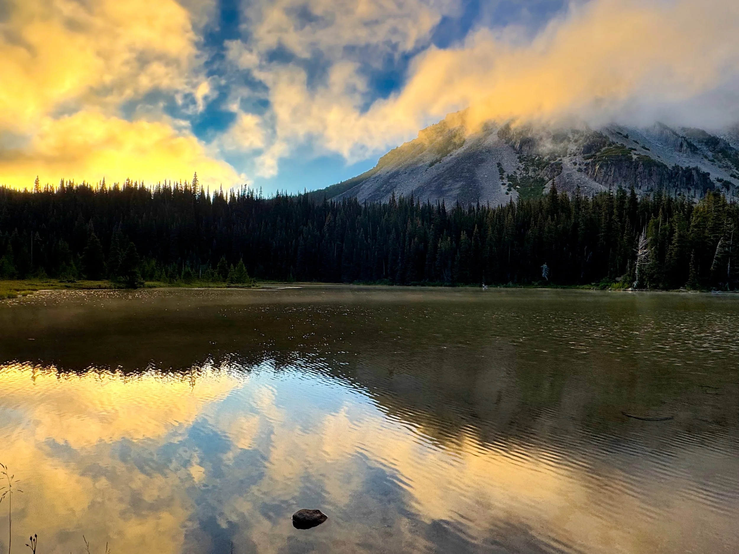
Mystic Lake at 8 PM
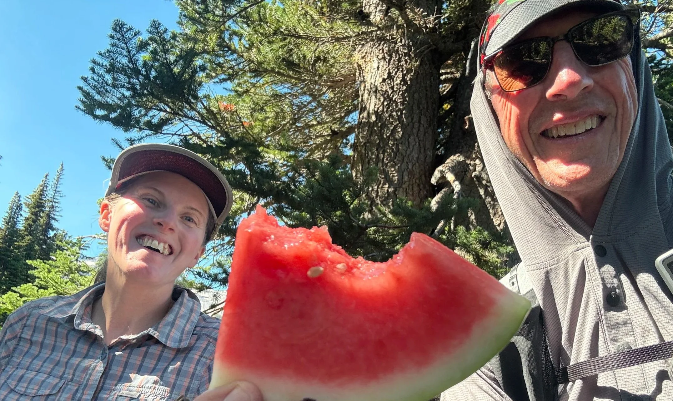
The best treat ever!
Day 3: Sunrise Camp to Longmire (36 miles/6800') I got up at 4:30 to tackle this last day, knowing that I was gonna be late into Longmire. I'm used to starting day 3 from White River, and although it doesn't seem like much, that extra 3 miles and the downhill from Sunrise really adds on. At White River I spent some time on foot care, nutrition and unloading trash. In contrast to Day 2, there were plenty of people on the trail this day. The clouds were gone and the skies were clear, but it was getting warmer and downright hot transiting the exposed Ohanapecosh Park. I had planned on meeting an off duty ranger at Indian Bar (she issued my permit at Longmire and was going to be there with some friends). She surprised me by packing in watermelon, a treat so treasured after a hot afternoon, well, you cannot imagine. We visited for over an hour and then I steeled myself for the climbs on the Cowlitz Divide. Things start to blur after 3 days on the trail, putting in 17-20 hours a day. After Nickel Creek and Box Canyon I finished out these final hours in the dark, succombing to the suffering but at the same time embracing it; all part of the the experience. Beats staying on the couch and watching TV. I arrived at my van at 2:15 AM, feeling a little comatose. My system was already shutting down, my overlord brain finally giving all those niggly muscle parts permission to give in. #39 was in the books; we shall see if #40 happens in September. Happy Hiking! Link to #39 video
Summerland
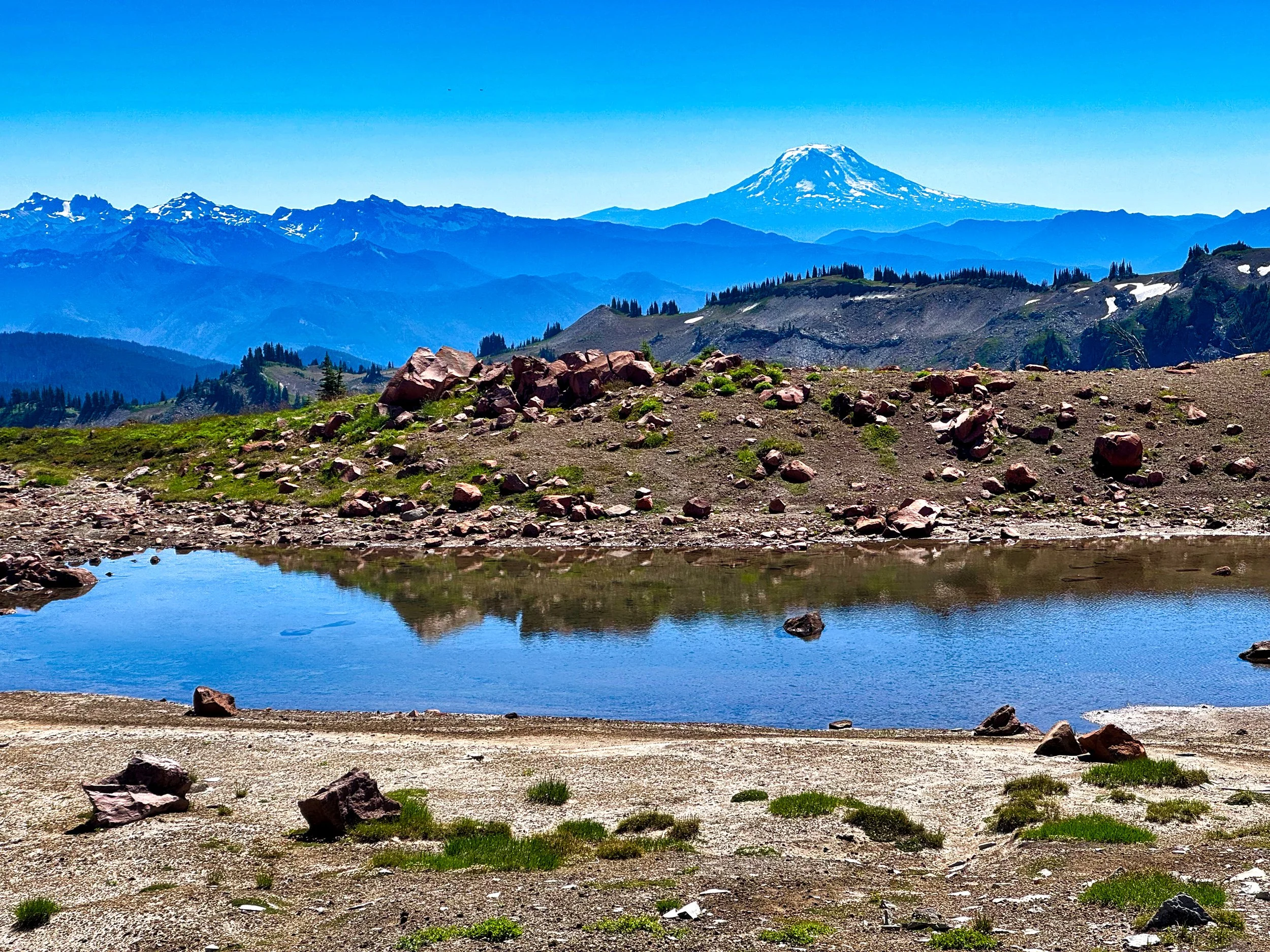
Mt. Adams from Ohanapecosh Park
Headwaters of the Ohanapecosh River