Mt. Rainier All Trails Project
As I celebrate 35 years of wandering Mt. Rainier National Park, in contemplation I realized that I had not actually hiked every trail. With so many years of concentrating on long pushes like 3 day Wonderland Trail hikes or one day circuits of the Northern Loop Trail, I had bypassed spur trails like Natural Bridge or Chenuis Falls. My emphases on hiking long resulted in neglecting single purpose or non connected trails like Shriner Peak, Tolmie Peak, Eagle Peak….the list goes on. So this year I spread out the Green Trails map and the USGS map and made it my mission to set foot on every maintained trail (also dashed lined trails on the Green Trails maps) I had yet to visit. In the process I discovered new delights on every foray.
On the “35 Years in MRNP” pulldown, I have a gallery with a sample photo from nearly every trail (maintained) and dashed line (route, unofficial and unmaintained) trail in the park. There are a few that I had hiked in years past but have no photos. Specifically, Grindstone Trail (Mowich Lake), the Boundary Trail (Carbon River entrance and Mowich Lake road), the Snow Lake Trail (took my son there 20 years ago for an overnight) and Grove of the Patriarchs. It has been many years since I set foot on the Tahoma Creek Trail; despite frequent washouts it is still viable (unmaintained) and is accessed from the West Side Road.

A hiker overlooks Kautz Creek from Mildred Point
Park information lists 270 miles of trails in the confines of Mt. Rainier. If one adds the unmaintained trails and climber trails that lead to areas like Observation Rock, Pyramid Park and the Tatoosh range, to cite just a few, then this total would be much more. Although some of my trips in 2018 have been on familiar terrain, as of this writing I have hiked (and biked) 539 miles and climbed 111,000 feet. Here are some highlights of this season in my quest to set foot on every trail:
Longest single push: 57 miles/16,000’ (with 3 hour rest)
Longest bike day: 89 miles/10,200’
Worst weather day: West Side Road hike and bike with Gobblers Knob and Lake George
Most fun: my daughter and I bivied on Ptarmigan Ridge, climbed Echo/Observation/Hessong/Pleasant/Tolmie peaks and even enjoyed the above mentioned drenching on the worst weather day.
Best newly discovered view: Mildred Point
Most work for the shortest trail segment: biking the Ipsut Creek road and hiking the Northern Loop Trail past Windy Gap to hike the .9 mile Natural Bridge Trail; 27 miles/5200’
“Shame on me that I haven’t been there yet” hike: Tolmie Peak
Easiest trail access: Crystal Mountain Trail…with poor weather, my buddy and I took the gondola up and down instead of doing the planned loop, having lunch and wine whilst watching it snow.
In sum, despite hiking, skiing, biking, running and climbing myriad areas of this park in all seasons over the past 35 years, I continue to discover new wonders every time I venture into the vast wonderland of Mt. Rainier National Park. Click here for individual trip reports
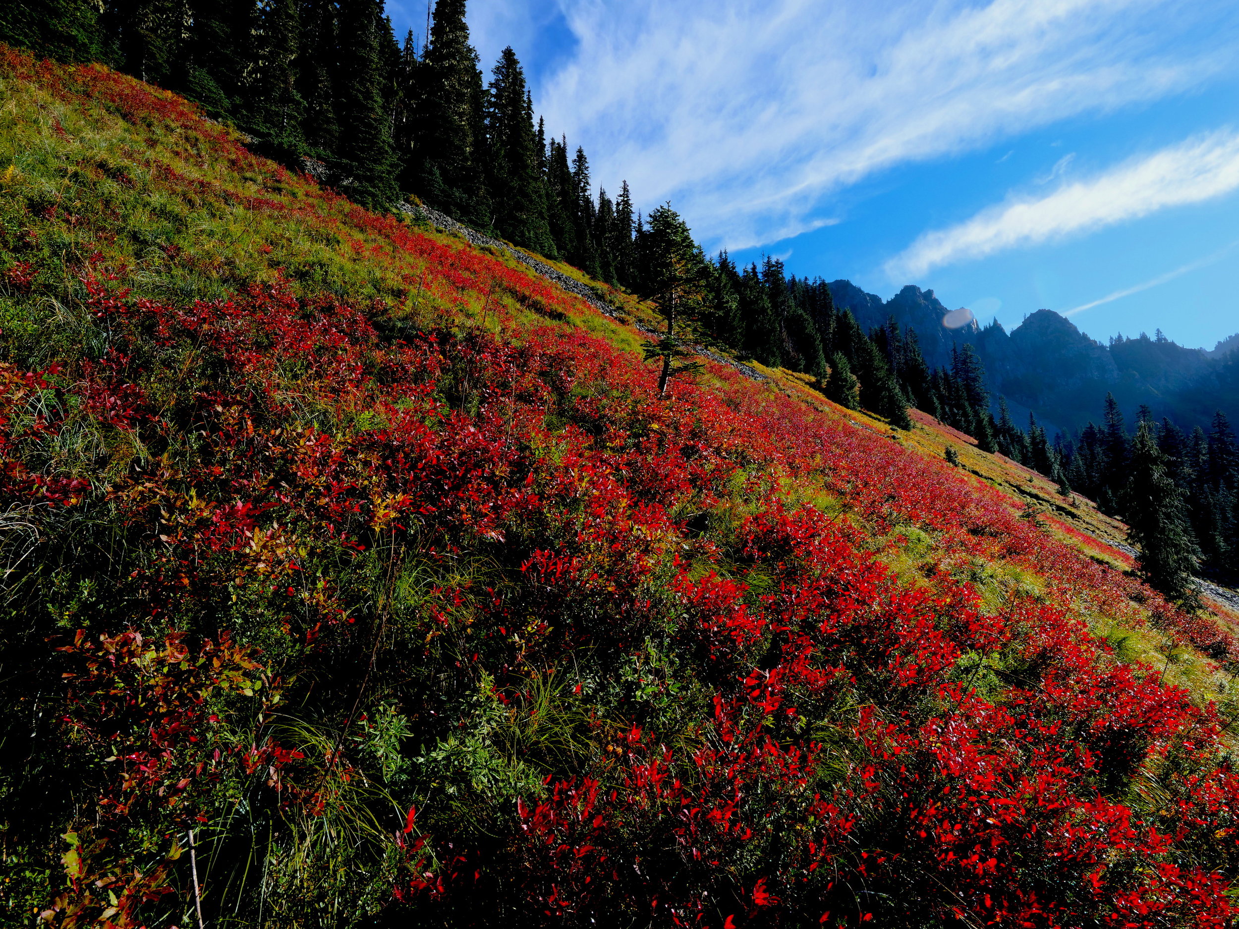
Fall colors on the Comet Falls Trail

Overlooking Spray Park (Spray Park Trail) from the Hessong/Pleasant saddle