
Mt. Rainier Bike Challenge

scenery along the Bike Challenge ride
I like to make stuff up. I like to make stuff up that's hard. Tomorrow I ride the STP (Seattle To Portland, 205 miles). That's easy; lots of support, gentle hills for the most part, lots of stops to chow down, to get my mocha on, to chill for a few minutes. This is of course over two days. I've done STP twice in one day and that's a more serious undertaking. But these past 4 years it's been an opportunity to hang with my old buddy Craig and enjoy the scenery.
Enter the Mt. Rainier Bike Challenge. I've been doing a bit more biking this year as a result of dealing with a persistent sore knee, and biking doesn't bother it. I like the climbs and descents available within the park. I've finished filming all of these; to view check out the Biking Rainier pull down. RAMROD covers most of this route but has significant mileage outside the park boundaries. To make it harder, I've established a few rules:
1. Bike must be able to negotiate the West Side Road out and back, at 24 miles and +/- 3200 feet of elevation. This means the entire West Side Road, starting at the intersection with the main road to Longmire. No 17 pound road bikes with skinny tires, thank you very much.
2. Self supported: gotta carry everything, including overnight gear. Of course, refilling water along the way is permitted. When I attempted this route two days ago I had food for two days, a bivy bag, sleeping bag, clothes to change into, repair kit, foul weather gear, etc.
3. Maximum badassery extra credit: Do this entire route to Sunrise, spend the night, and ride back to your vehicle, adding another 70 miles and 10,000 feet of climb.

West Side Road scenery
I'm an endurance athlete by genetic makeup, not very fast (although I actually won my age division in a couple of ultras in my 40's) but able to go a long time, embracing the suffering in the process. What with remodeling and unenticing weather of late, Wednesday's forecast (July 13, 2016) was good. Despite being just days from STP, I thought I'd give it a go as Craig could meet me at White River Campground so I could get a ride back to my vehicle after a well deserved break. When I started out I had already decided to drive to Longmire after the West Side Road as it was a much better place to leave my vehicle over night. That scratched 6 miles and 600 feet of elevation right there, making the possible total 91 miles and 12, 400 feet of climb. I started biking early (5:15 AM) in the fog and found that the park had fixed the WSR washout area and cleared the road of downed trees, which we encountered in the spring. However, the going was slow on this dirt road, with numerous muddy patches, rocky sections and general slow going. It was a very pleasant ride but took me nearly 5 hours for the out and back. I started the bike from Longmire at 11 AM, immediately dealing with the road renovations on the way to Paradise, swollen with people and vehicles to the point of bursting...welcome to summer. Once I left this route and turned left onto the Stevens Canyon Road, traffic eased significantly but was still enough to warrant caution. In my self assessment up to that point (having climbed 6,000 feet), I was not sure that I could double this within the day and leave enough in the tank for the upcoming STP just a few days later. I was able to rest on the descent to the Stevens Canyon entrance, interrupted by the 600 foot climb to Backbone Ridge, but sometime into the climb on SR 123 to Cayuse Pass I could tell my day would have to be shortened. I knew I wouldn't have the legs or the time to climb to Sunrise so I also decided to skip the 600 foot climb to Chinook Pass and just get to the campground. This still required another 800 feet of climb but it sure felt good to change, clean up a bit, eat and enjoy the coffee. I could have left more on the road and pushed into "that zone" but I didn't want to jeopardize my weekend ride. Besides, I was climbing so slowly at the end of the day (I was passed easily by two other bikers) trying not to hurt myself that it was obvious I needed to stop. I like my big ideas and challenges, but I also need to be reminded of my age and lack of training to put things in perspective. Someday I'll do this challenge when the stars are aligned a bit better.
Map My Ride had my totals for the day at 80 miles and 11,400 feet of climb. Sounds a little ambitious according my my calculations but I do know it was a rather hard day. I guess this weekend will mark my transition from biking to hiking, as my daughter and I have big, hard plans for the end of the summer. Cheers, and here's to doing hard stuff!
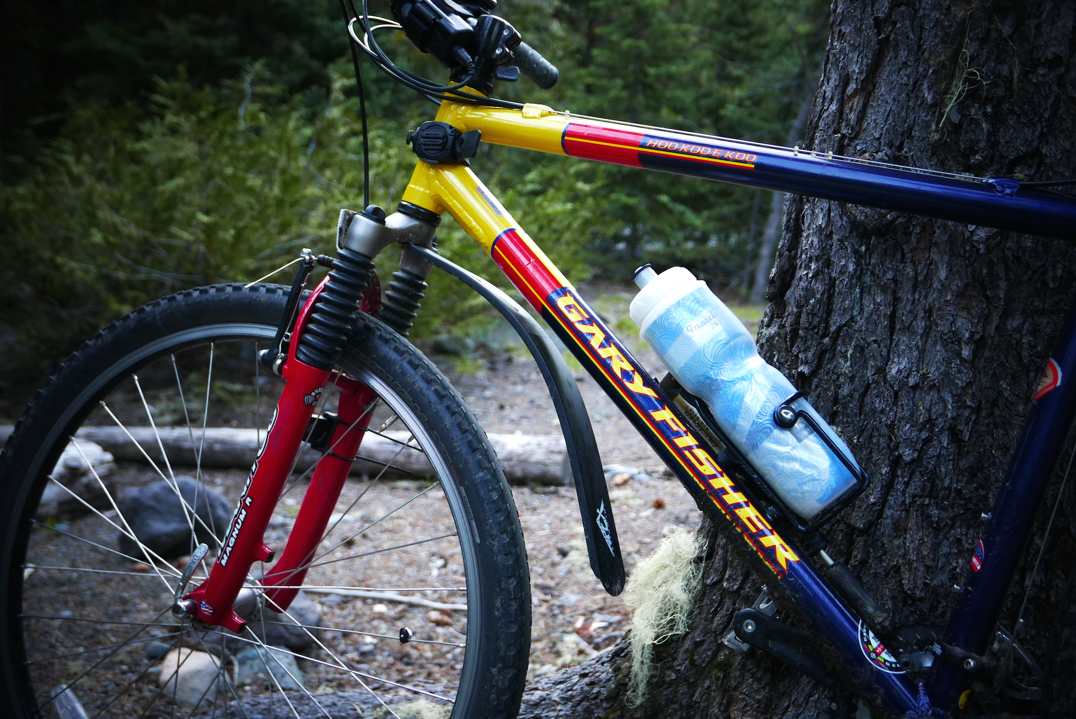
my vintage steed: handled rocks, mud, gravel, chewed up roads and macadam on the Bike Challenge