Palisades Trail: Brown Peak/Slide Mtn/The Palisades
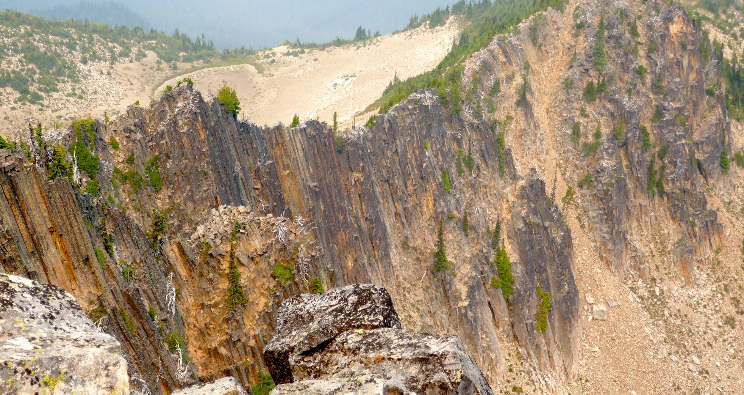
On this trip I not only hiked the Palisades Trail but also added a little peak bagging in the process. On a smoke filled sky on Monday, August 20th, I parked at Sunrise Point and ventured into the respiratory unknown. The trail passes Clover Lake (which I had visited years before) and proceeds north past Dick's Lake to terminate at Upper Palisades Lake. Before reaching Palisades, I departed the trail and proceeded to the summit of Brown Peak, an easy stroll. From this vantage point I could see the ridge walk, sometimes with obvious trail, to the series of peaks that make up Slide Mountain. With the limited visibility I could barely make out the next high point on the ridge, and from the first summit of Slide I could barely see Mt. Rainier. However, the smoke filled air didn't seem to bother me too much despite not being a smoker, and I continued on to the actual slide part of Slide Mountain, ending in a loose boulder and choss fest before calling it good enough. The slide is quite impressive from the top vantage point, but I was happy to be off the loose boulders and back on the ridge for the return to the trail proper. I made a quick jaunt to Upper Palisades Lake before retracing my route a short distance to the side trail to Hidden Lake. The trail continues all the way past Hidden Lake (although signed "unmaintained") and up the steep climb to Green Park saddle. From here it was cross country route finding to the summit of The Palisades at 7040'. Despite limited visibility, what I found most impressive from this lofty perch was looking down on the hexagonal andesite columns that dominate the geology of the Palisades. The return trip had me stopping at the deserted Hidden Lake and dipping my dusty legs and feet in the cool waters, all the while taking in the reflective sights and snacking in back country bliss. The hike out was pleasant, meeting only one other couple on the way.
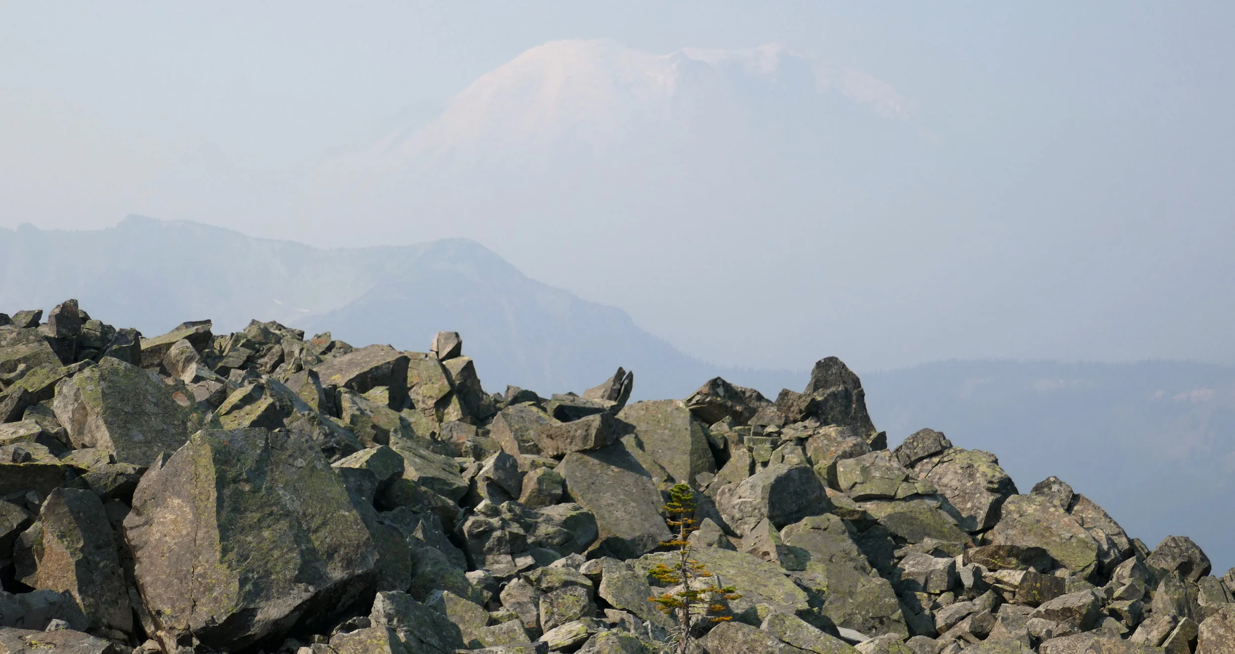
Smoke filled skies ghost the view of Mt. Rainier from Slide Mountain
The Palisade trail is a delight in any kind of weather and I thoroughly enjoyed myself both on trail and off despite the hazy views. Stats for this jaunt: 16.4 miles with 5,400 feet of climb. Plus, tick off another trail on my list for 2018.

The "slide" of Slide Mountain from the Palisades

Brown/Slide/Palisades elevation profile