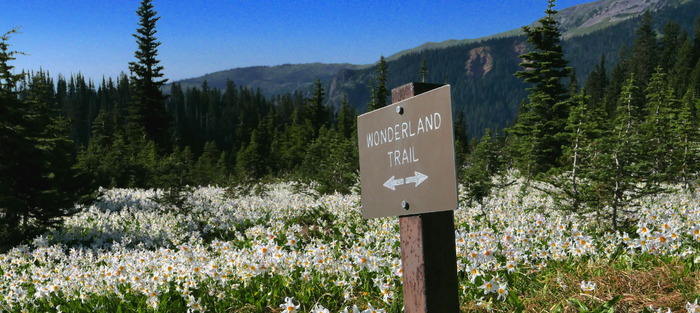
Mt. Rainier Success Divide
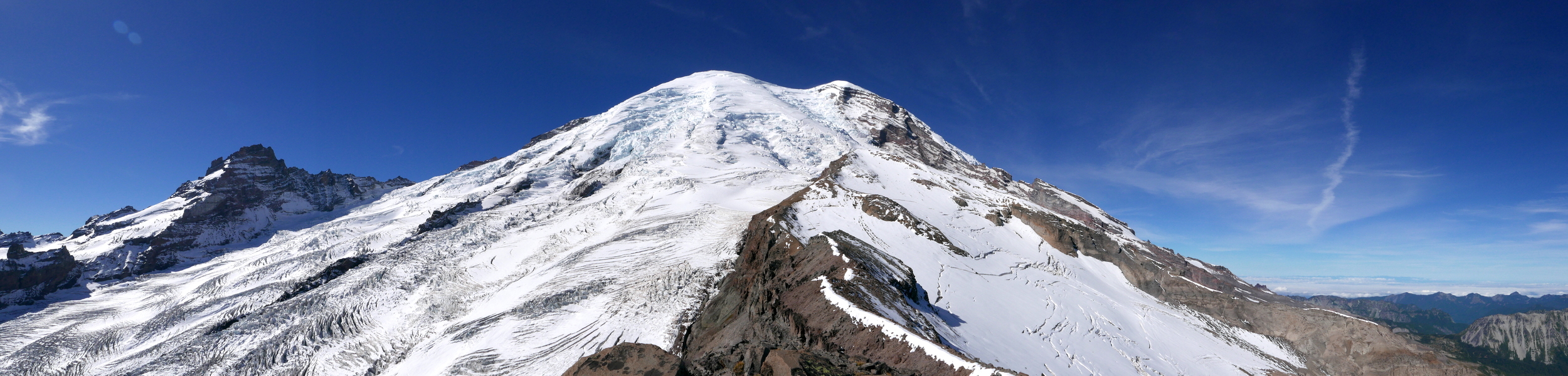
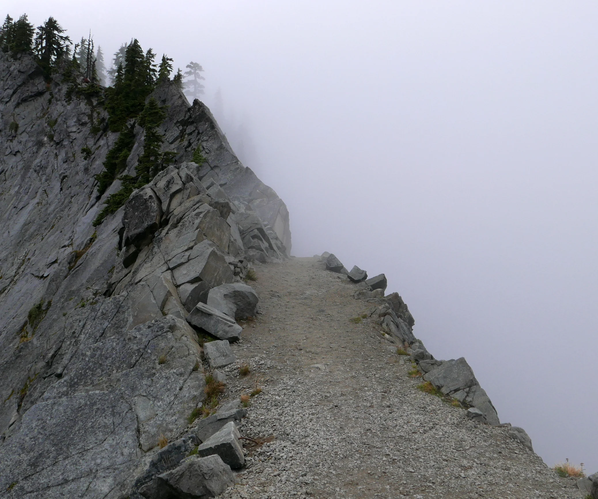
It seems with current weather trends that I am not going to be able to complete the last part (West) of the Mt. Rainier Grand Tour in one shot, as forging high on the divides and cleavers really should be done in good weather to take advantage of expansive views. A short decent weather window allowed me to at least get up the Success Divide to 7800 feet on Wednesday, September 23, and allowed for expansive views south and west, but a lingering cloud layer over the mountain proper down to about 8000 feet blocked any views upward. Nevertheless, this was a highly rewarding and somewhat tough day. The straight forward part is following the Wonderland Trail from Longmire to Indian Henry's Hunting Ground, and there is a well established trail leading to Pyramid Peak from the Mirror Lakes Trail. After this, travel becomes somewhat more complicated as one skirts the base of Pyramid Peak to acquire the Success Divide. This is one instance where I actually was glad to have a GPS to check my return track a few times in this section. See the complete photo set for this Success Divide hike here.

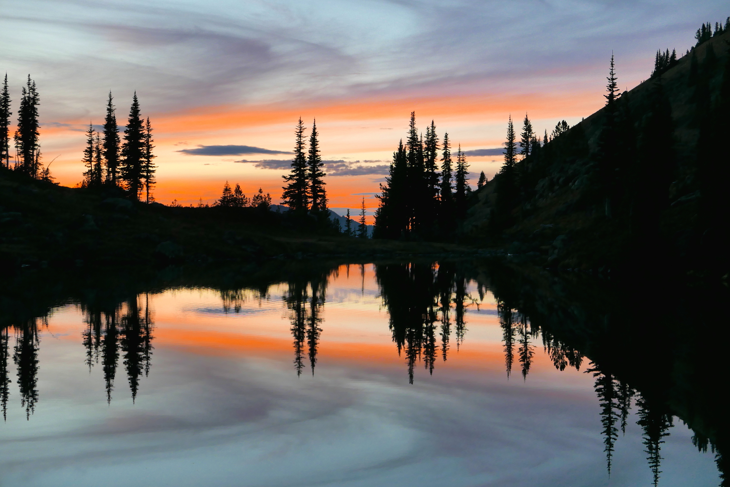
fall colors near Pyramid Peak
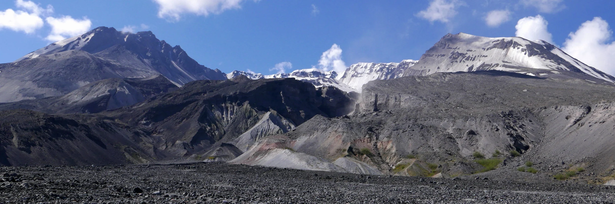
The Success Divide is the lower part of a ridge that leads to the Success Cleaver. This is the only climbing route on Rainier that doesn't step foot on a glacier, but it is long and tough. As part of the Grand Tour I wanted to climb high enough to get close up views of the South Tahoma Glacier, Glacier Island, and numerous peaks to the west and south. Travel on the Divide was fairly tough, with loose rock and scree combined with route finding to choose the best line whilst skirting steeper areas. When I think of all the different areas and off trail portions of the Grand Tour, this was perhaps the toughest after the Elysian Fields/Moraine Park transit. However, it fits well in the crafting of my self concocted Grand Tour, taking the intrepid hiker well beyond the manicured trails in the park to areas visited by (statistically of all hikers) the few. And keeping in line with my criteria of non technical travel and/or specialized equipment, climbing the Divide was done with my usual light trail runners, in this case Inov8 Trailrock 235s.

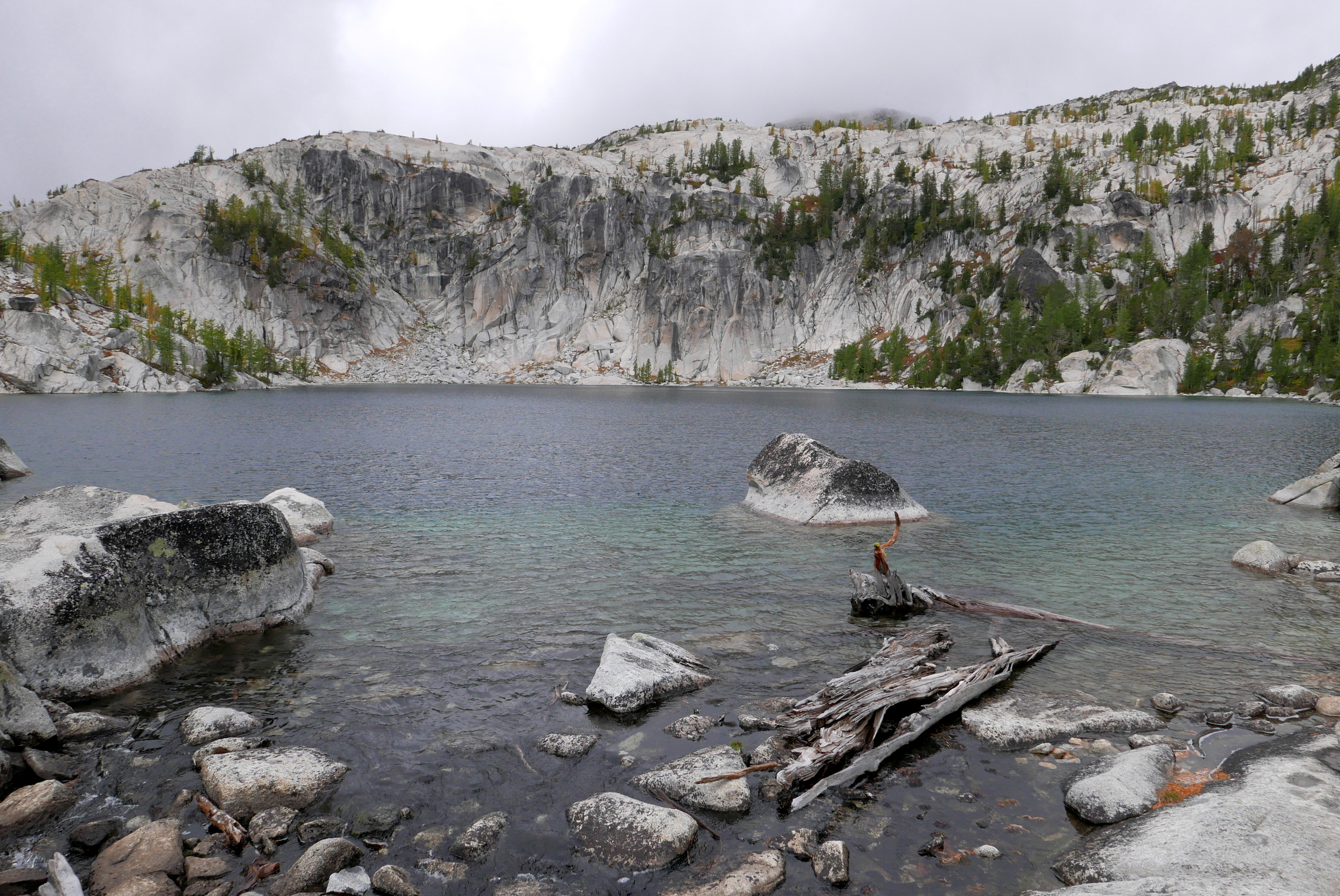
tarn below Pyramid Peak
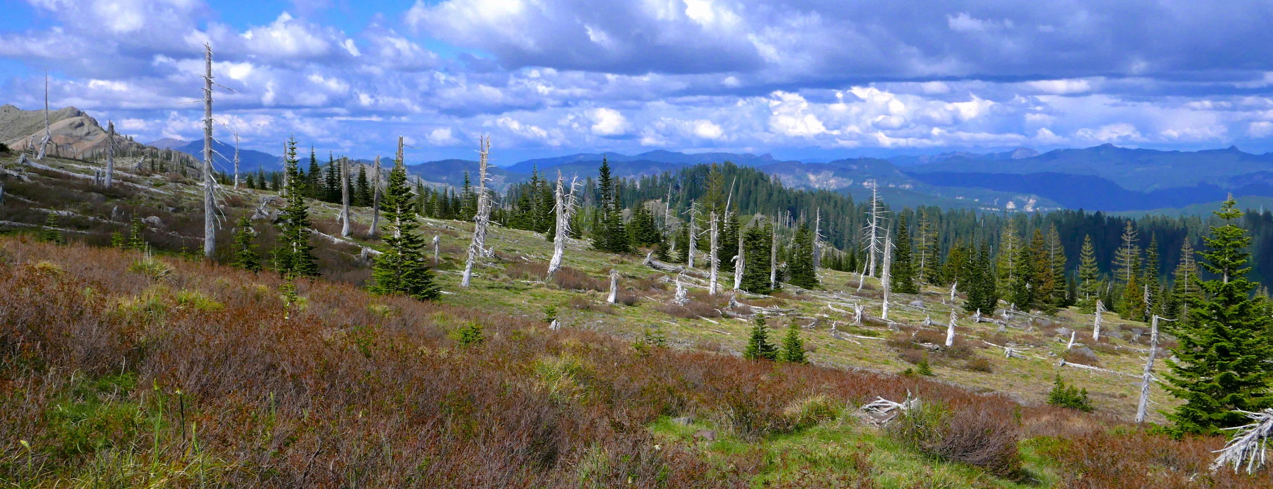
By dividing the West portion of the Grand Tour I am actually putting in many more miles than the original plan of 150, but so it goes. This day didn't disappoint on this first day of fall, with some patches of vibrant fall colors, cool temps, and solitude once I left the Wonderland. On my way back there was a one camper at Devils Dream camp, and I enjoyed perhaps 30 minutes of comraderie and libations while the chap from Wisconsin was making dinner, a pleasant respite indeed. After that it was a matter of retracing my steps in the dark back to my vehicle in a mostly downhill trot, enjoying the moon peeking through the trees in the process. Despite the weather not cooperating in its usual September style, snatching days like this when the opportunity arrives is still a treat for the soul.