MRNP: Anvil Rock (9584')

Lineup for Paradise gate opening
Warmed up from my Cowlitz Rocks skin/ski a few days ago, I hit the snow with a full 1.5 liter bottle spiked with Tailwind this time, heading up the familiar Muir Snowfield to tag Anvil Rock (9584’). I know I took my daughter by here when she was 16 but figured I’d make it official. My scramble guide to Mt. Rainier suggested not trying to stand on the rock that marks the peak, instead tagging it with one’s pole. If you consider the sheer drop on the other side and the crumbly nature of Rainier’s makeup, it sounded like a prudent idea to me.
Take a Saturday with incredible weather, add in the spiking effect of Coronavirus with social distancing and shutdowns galore (meaning people are getting outside probably more than ever), and tweak the mix with free entry to the park, and one gets a bloated parking lot. The whole trip up the snowfield had specks of humans booting, skinning and snow shoeing in nicely spaced lines for the better part of the day. Everywhere I turned the specks were visible both high and low. However, with so much open space it was quite easy to have your own bubble. I opted to boot up Panorama Point as I saw some skiers having difficulty skinning. Besides, there is always a nice boot track here making it easy peasy. It looked like party time at the top with people taking a break and paying homage to the malignant sun god. I snapped a few pics and continued up the remaining short steep two steps to the gentler terrain above. After this it was shush shush shush goes the skins for some time. I broke off from the main thoroughfare, making my own track to the right to position myself for Anvil.

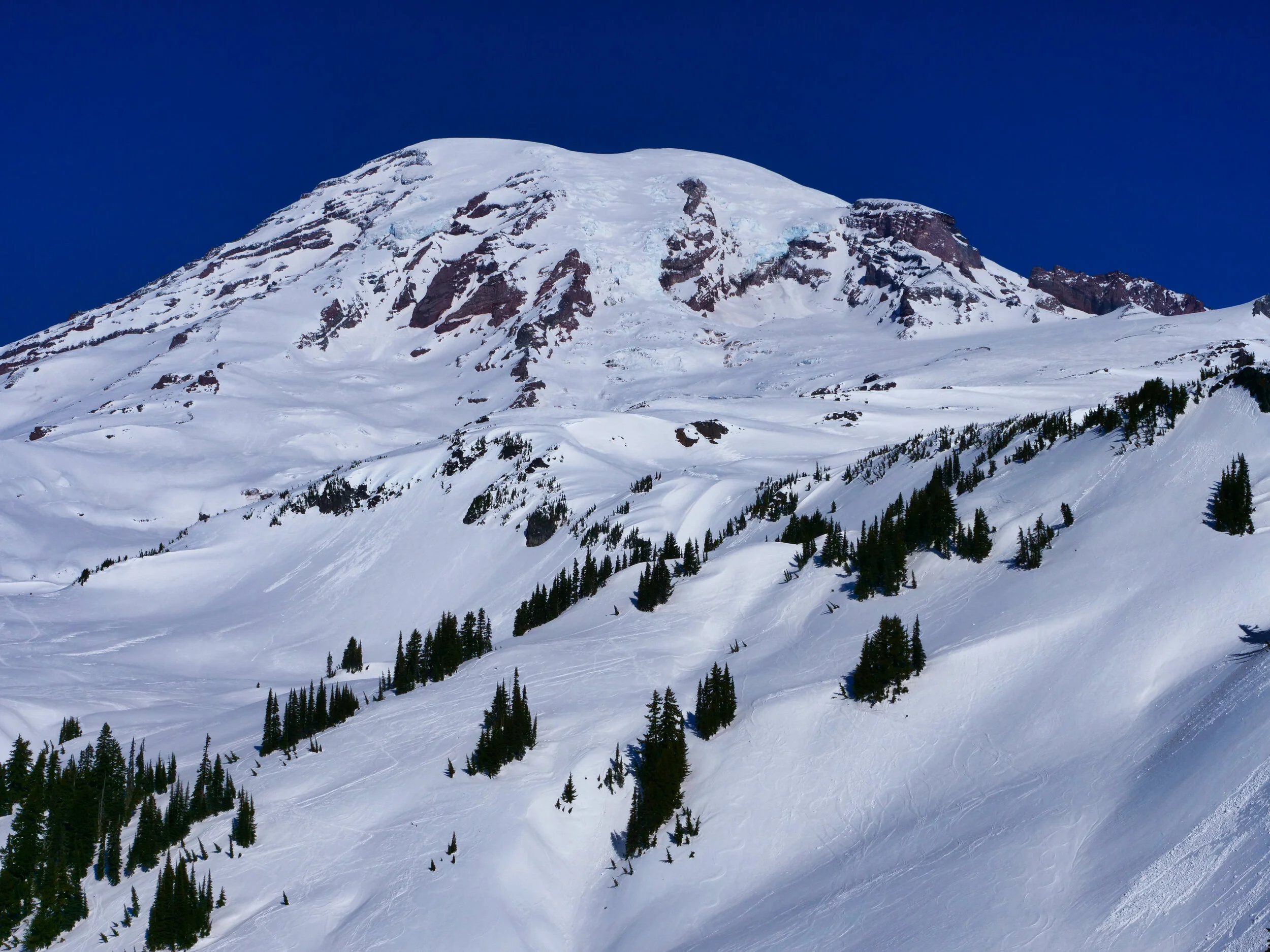
Anvil Rock (9584’) visible from the snowfield above Panorama Point
I found a nice bit of rock to take a break about 500’ below Anvil, eating some chow and quaffing my liquid. I had noticed some chaffing on my Hoji’s (inside ankle side) from my prior trip, so I shed the boots to take a look. I applied some mole skin and changed to thicker socks and this seemed to alleviate the problem, at least until I took the mole skin off in the shower at home. The layer of skin that came with it raised an eyebrow to say the least. From the rocks it was a short skin to just below the summit rock of Anvil, where I found a flat spot to stash the skis. Low angled soft snow made an easy jaunt to the summit rock where I placed my pole atop the top. Tag! Nice views here to while away a few minutes, and far enough off the main route to enjoy solitude whilst watching the ants, noticeably slower now with the higher elevation.

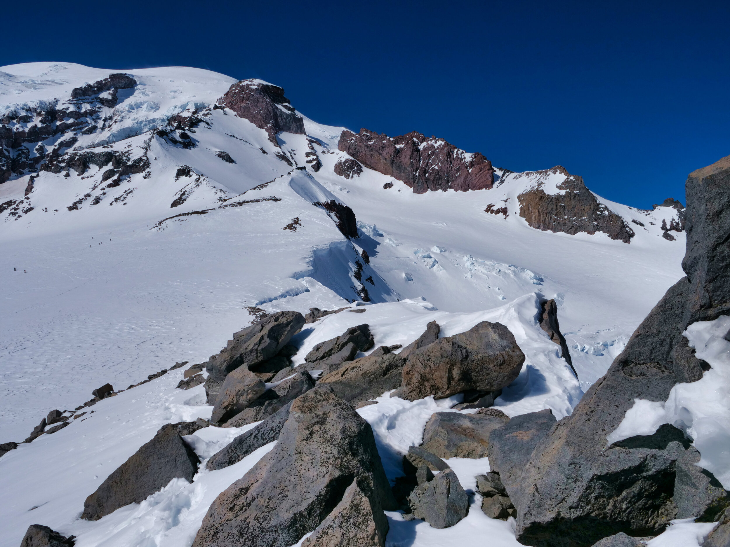
Nisqually icefall
I configured for the downhill, somewhat dreading the conditions. However, it turns out the crud at 9000’ wasn’t nearly as bad as what I encountered below Cowlitz Rocks and was quite manageable. In fact, as I proceeded lower the skiing became less survival and more glidal, with pretty good soft spring conditions all the way to Paradise. Maybe a little choppy in places but fun nonetheless. The steep slope below Panorama point was doable without traversing and was over in short order with tight turns. After that it was cruising to the parking lot, now packed to the gills with people everywhere. I even passed a group in lounge chairs with tables adorned with beer. I weaved through the parking lot to my car staying 15’ from everyone and did the pack up chores….drying the skis, pouring coffee, eating a peanut butter cookie; the usual stuff. Light traffic had me home in short order and my wife treated me to a salmon dinner. Welcome to retirement.
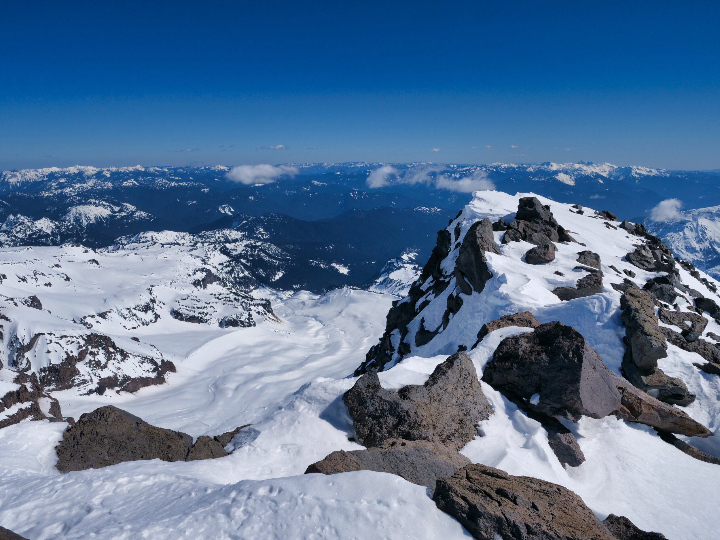
Looking towards Camp Muir from Anvil Rock