Mowich Lake Loop 10/24/2015

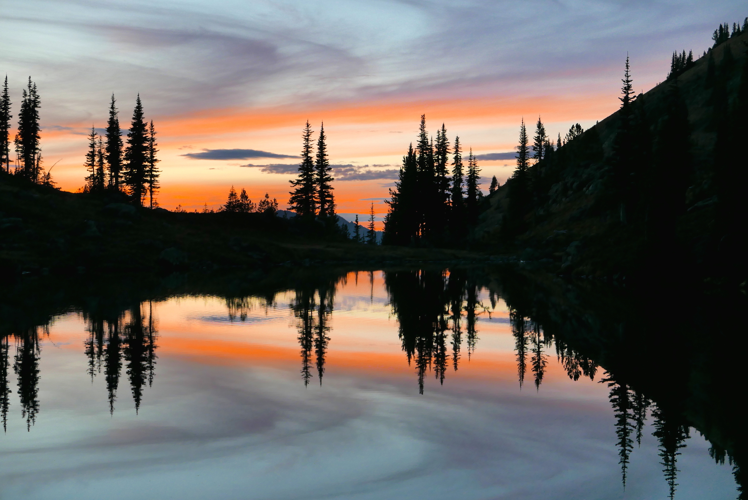
lenticulars formed in unsettled skies
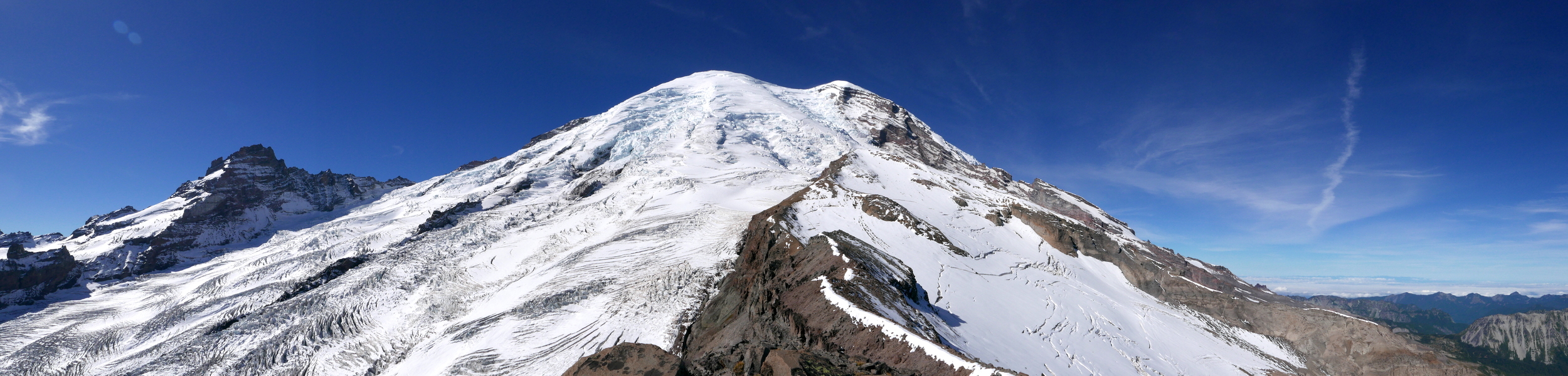
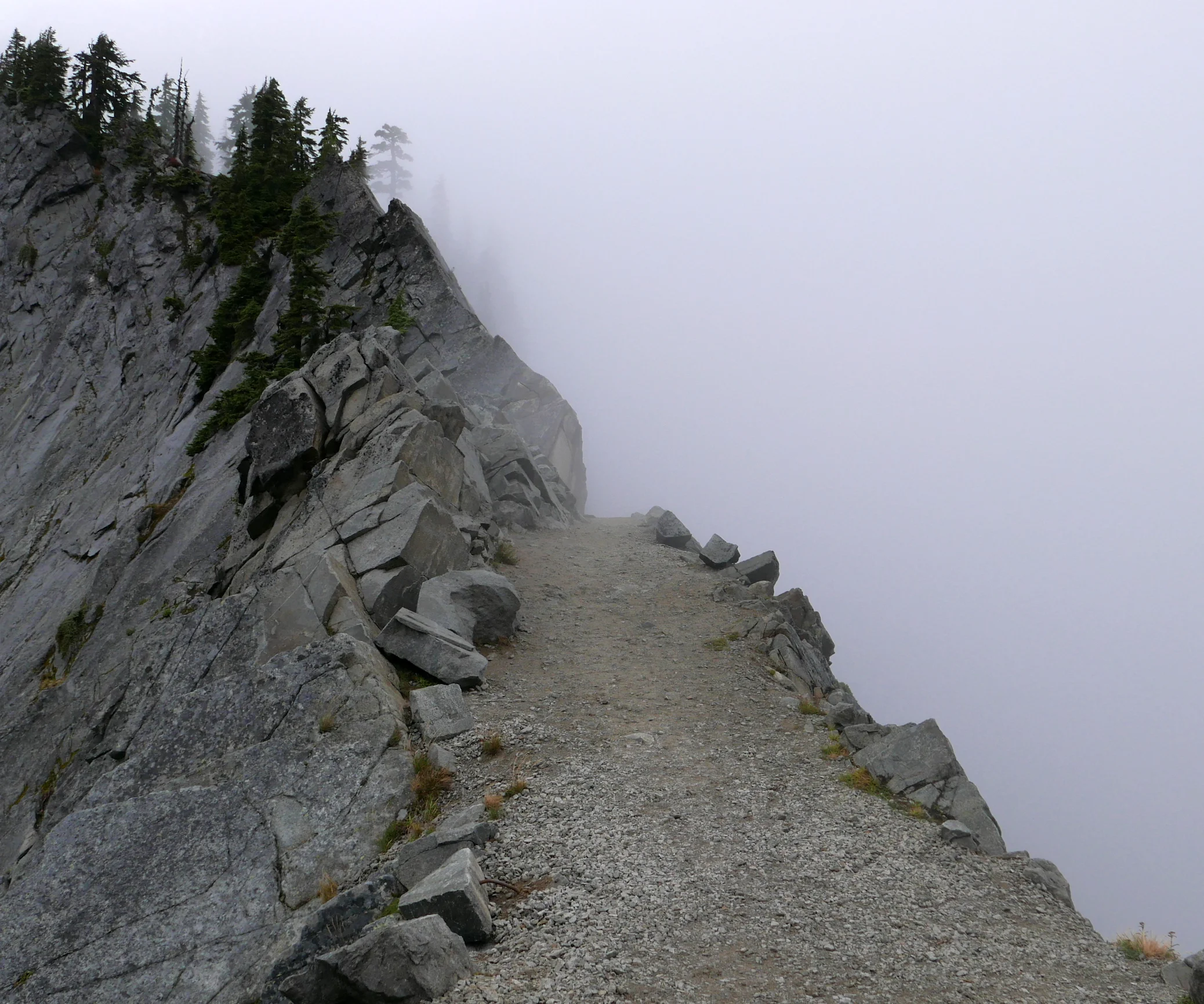
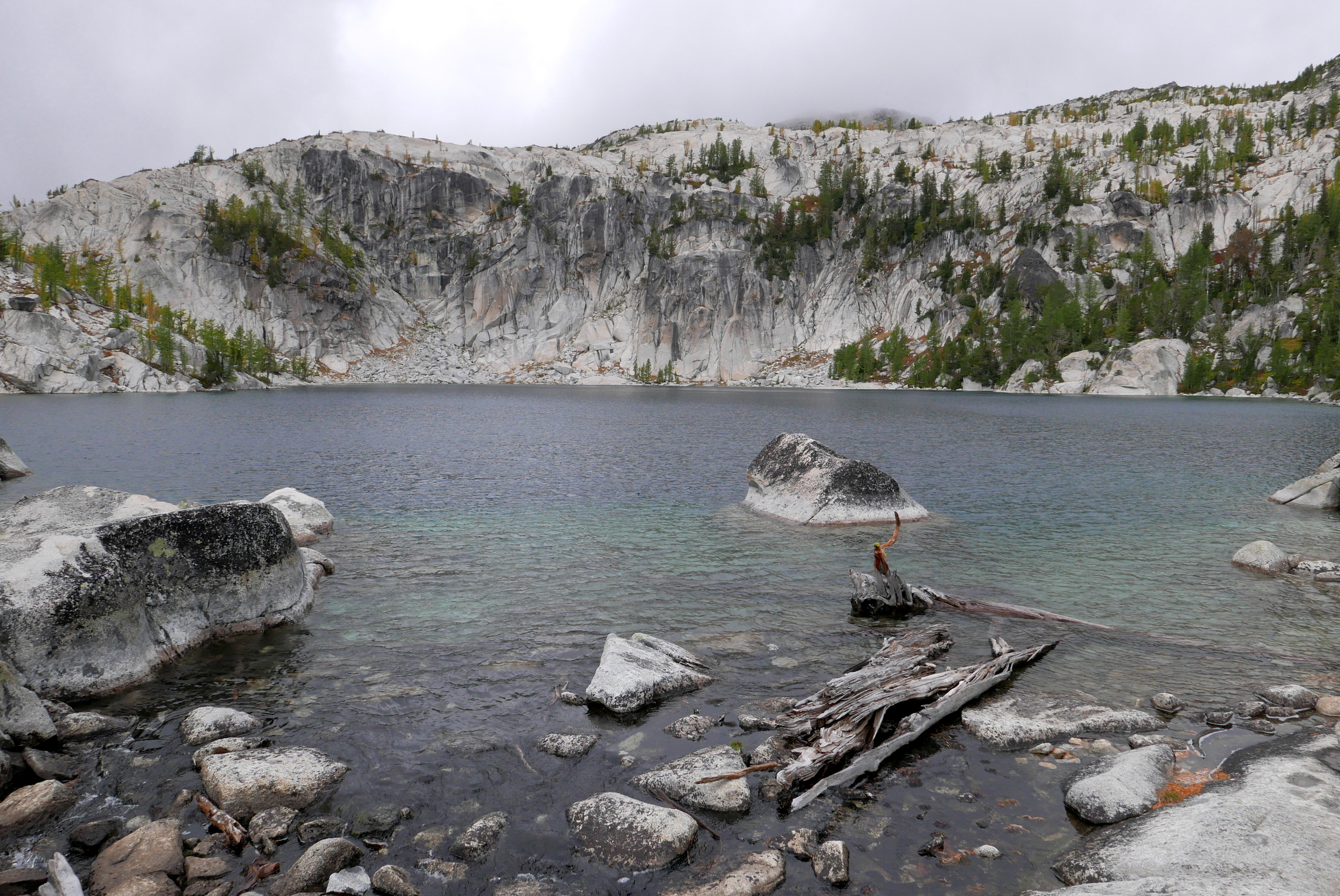
I had a choice today: go solo and knock off Echo and Observation Rocks at Mt Rainier National Park, completing the points on the Grand Tour. Or enjoying the day with my buddy Craig, who hasn't been out hiking in two years and is recovering from bronchitis. I chose the latter and I'm glad I did, despite the Mowich Lake road imminent closing in a few days, essentially cutting off easy access to this area for this season. I did manage one peak in the process, Fay Peak (6492') on the way to Knapsack Pass, which I practically sprinted up so as not to make Craig wait too long. I also left the trail in lower Spray Park to check out the saddle between Mt Pleasant and Hessong Rock, although climbing either of those peaks would have taken too much time while Craig was waiting. This was a great day overall, mostly from the camaraderie, theme based jokes and banter while enjoying decent weather. The hike was not so strenuous as to bring Craig to tears. His cough subsided as the day wore on, we took plenty of time to linger and shoot pix, the trail on the loop back was downhill and mild, and we made it to my vehicle just as it was getting dark. I've done a bit of solo hiking this year and just getting out with an old friend and inhaling nature's healing vapors was just the ticket. Check out the complete photo set.
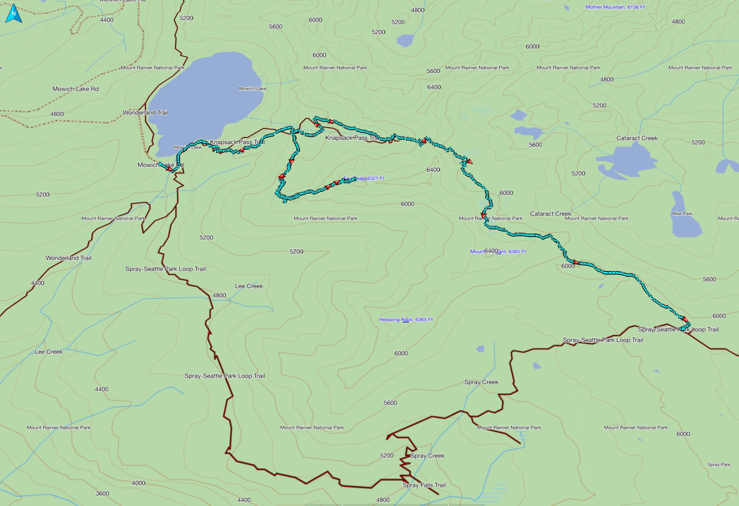
This map shows the GPS track over Knapsack Pass via Fay Peak, at just over 5 miles and 3100 feet of elevation gain. The loop was completed on the main trail shown back to Mowich Lake for another 3.5 miles, making this loop a total of 8.5 miles long.
GPS track of Knapsack Pass/Fay Peak portion